Trails for everyone, forever

Home Go Hiking Hiking Guide Middle Fork (Toats Coulee)

Middle Fork (Toats Coulee)

North Cascades > Pasayten
48.8765, -119.9007 Map & Directions
Length
5.8 miles, roundtrip
Elevation Gain
400 feet
Highest Point
5,380 feet
Calculated Difficulty About Calculated Difficulty
Moderate
The Middle Fork Trail is a quiet, low-key ramble through the woods of northeastern Washington. Photo by Rolan Shomber. Full-size image
  • Dogs allowed on leash
  • Old growth

Parking Pass/Entry Fee

None
Saved to My Backpack

Don’t want to drive the very rough last 6 miles to the Iron Gate Trailhead? This mostly forested alternate approach adds 3 miles and 1000 feet elevation gain to the trip into Horseshoe Basin. Continue reading

Rating
0.00 out of 5

(0 votes) Log in to rate

Hiking Middle Fork (Toats Coulee)

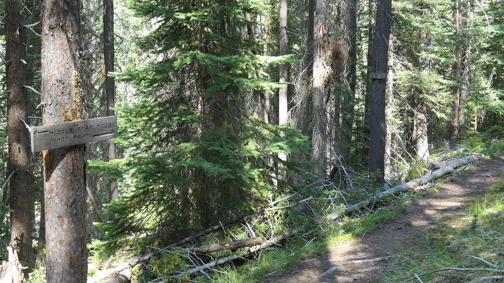
The short Middle Fork Trail is a pleasant hike, mostly through forest reminiscent of the central Pasayten Wilderness prior to the many recent fires. It passes through mature forest and grassy aspen groves as it makes its short climb.

There are a couple of small locations that show the effects of nearby fires. One has many young pine trees, and the other is a small field of fireweed among the gray logs on the ground. Note that once into summer, this wide pack trail can be very dusty.

The trail ends at its junction with the Clutch Creek Trail. From here the right branch (easterly) is a short, steep climb to the Boundary Trail at its junction with the Deer Park Trail, 1 mile from the Iron Gate Trailhead. 

Back at the end of the Middle Fork Trail, the left branch (western) drops down to cross the Middle Fork Toats Coulee Creek before starting a long, steep climb to its junction with the Windy Peak Trail.

Toilet Information

  • No toilet at trailhead

More information about toilets

Hike Description Written by
Rolan Shomber, WTA Correspondent

Middle Fork (Toats Coulee)

Map & Directions

Trailhead
Co-ordinates: 48.8765, -119.9007 Open in Google Maps

Before You Go

See weather forecast

Parking Pass/Entry Fee

None

WTA Pro Tip: Save a copy of our directions before you leave! App-based driving directions aren't always accurate and data connections may be unreliable as you drive to the trailhead.

Getting There

From Tonasket, take the Loomis-Oroville Road for 17 miles to Loomis. Turn right to stay on the Loomis-Oroville Road and follow it for 2 miles. Turn left on the Toats Coulee Road and follow it for 13 miles across the Loomis State Forest to where it enters the Colville National Forest and become USFS Road 39.

Follow USFS Road 39 for 6.5 miles to the Middle Fork Toats Coulee Creek crossing. Turn right just before the cross and go down the steep road to the Middle Fork Camping area and trailhead. Parking is on the side of the road, not in tall grass. No usable facilities

More Hike Details

Trailhead

North Cascades > Pasayten

Middle Fork (#387)

Colville National Forest, Tonasket Ranger District

Guidebooks & Maps

Green Trails: Horseshoe Basin No 21

Buy the Green Trails Horseshoe Basin No. 21 map

You can improve or add to this guidebook entry!

Middle Fork (Toats Coulee)

3 Trip Reports

Hiked here recently?

Submit a trip report!
 
Trip Reports