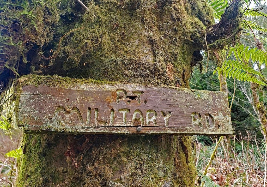

See colorful wildflowers in the warmer months and changing leaves in the fall on the Military Road Trail. This 0.7 mile section of trail goes from the Red Town Trailhead to the Cougar Mountain Park boundary at Clay Pit Road. It can be used to reach a variety of other routes like Little Creek Trail, Primrose Overlook and Red Town Creek.
Military Road

-
 Length
- 1.4 miles, roundtrip
-
 Elevation Gain
- 410 feet
-
 Highest Point
- 1,050 feet
See colorful wildflowers in the warmer months and changing leaves in the fall on the Military Road Trail. This 0.7 mile section of trail goes from the Red Town Trailhead to the Cougar Mountain Park boundary at Clay Pit Road
Continue reading
Hiking Military Road
Military Road
Map & Directions
 Trailhead
Before You Go
Parking Pass/Entry Fee
NoneWTA Pro Tip: Save a copy of our directions before you leave! App-based driving directions aren't always accurate and data connections may be unreliable as you drive to the trailhead.


