Trails for everyone, forever

Home Go Hiking Hiking Guide Miller River Road Snowshoe
link

Miller River Road Snowshoe

Central Cascades > Stevens Pass - West
47.7146, -121.3992 Map & Directions
Length
7.4 miles, roundtrip
Elevation Gain
700 feet
Highest Point
2,200 feet
Calculated Difficulty About Calculated Difficulty
Moderate
Dorothy Lake parking lot & trailhead lunch break. Photo by jaltice. Full-size image
  • Old growth
  • Good for kids
  • Rivers

Parking Pass/Entry Fee

None

In winter, and, as with all showshoeing, the right gear, it is possible to snowshoe the Miller River Road to the Dorothy Lake Trailhead. Continue reading

Rating
4.00 out of 5

Hiking Miller River Road Snowshoe

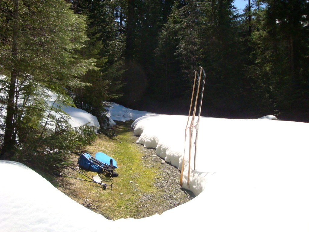
In winter, with the right gear, it is possible to snowshoe the Miller River Road to the Dorothy Lake Trailhead. Be aware of avalanche conditions and know how to read the terrain as this road passes through some potentially hazardous avalanche areas.

Miller River Road Snowshoe

Map & Directions

Trailhead
Co-ordinates: 47.7146, -121.3992 Open in Google Maps

Before You Go

See weather forecast

Parking Pass/Entry Fee

None

WTA Pro Tip: Save a copy of our directions before you leave! App-based driving directions aren't always accurate and data connections may be unreliable as you drive to the trailhead.

Getting There

From Highway 2, turn south at the well-signed turnoff for Money Creek Campground. This is one mile west of Skykomish. Park at the gate, which is locked in the winter, and begin your hike on the other side of it.

More Hike Details

Trailhead

Central Cascades > Stevens Pass - West

Mt. Baker-Snoqualmie National Forest, Skykomish Ranger District

Guidebooks & Maps

Cross Country Ski Trails in Washington's Cascades & Olympics. Tom Kirkendall & Vicky Spring

Green Trails No. 175 Skykomish

You can improve or add to this guidebook entry

Miller River Road Snowshoe

17 Trip Reports

Hiked here recently?

Submit a trip report!
 
Trip Reports