Trails for everyone, forever

Home Go Hiking Hiking Guide Mine Shaft Trail
link

Mine Shaft Trail

Issaquah Alps > Cougar Mountain
47.5297, -122.0987 Map & Directions
Length
0.3 miles, one-way
Elevation Gain
77 feet
Highest Point
1,506 feet
Calculated Difficulty About Calculated Difficulty
Easy

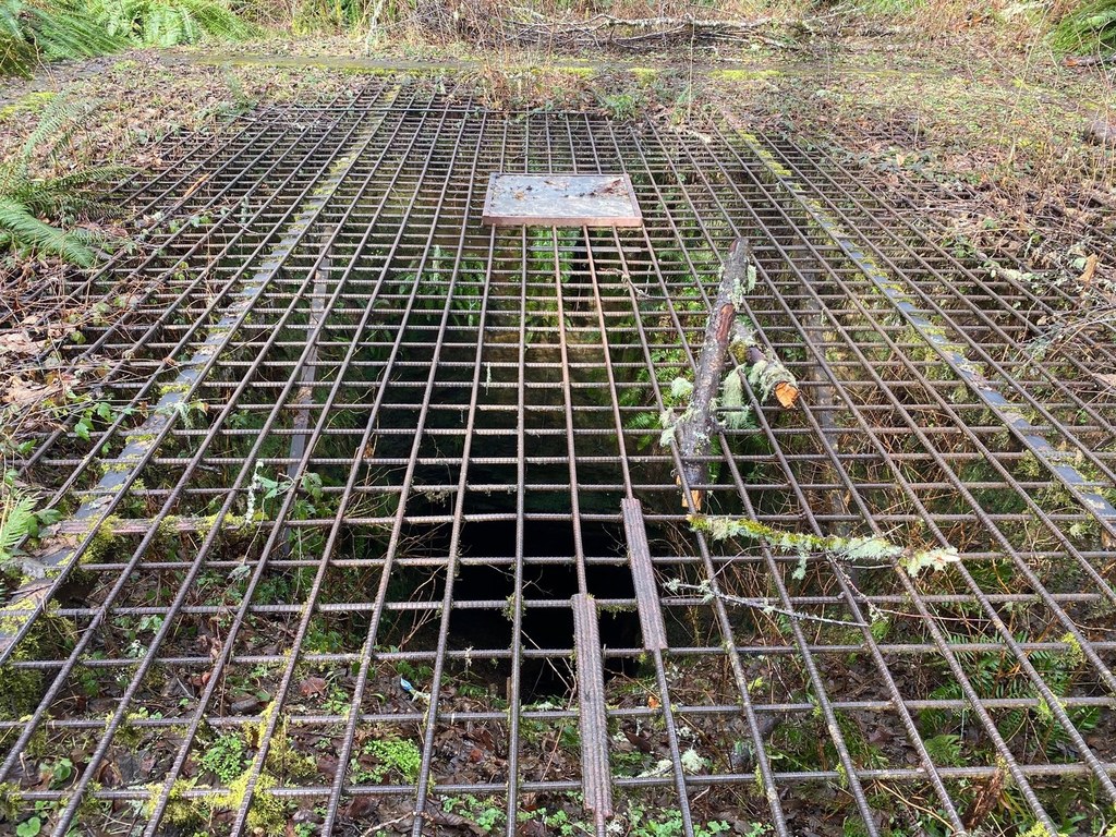
A short jaunt off the Clay Pit Road to a deep mineshaft left over from mining activities that used to take place on Cougar Mountain in the late 1800s. Continue reading

  • Dogs allowed on leash
  • Good for kids

Parking Pass/Entry Fee

None
Rating
4.00 out of 5

(5 votes) Log in to rate

Hiking Mine Shaft Trail

A short jaunt off the Clay Pit Road to a deep mineshaft left over from mining activities that used to take place on Cougar Mountain in the late 1800s.

Mine Shaft Trail

Map & Directions

Trailhead
Co-ordinates: 47.5297, -122.0987 Open in Google Maps

Before You Go

See weather forecast

Parking Pass/Entry Fee

None

WTA Pro Tip: Save a copy of our directions before you leave! App-based driving directions aren't always accurate and data connections may be unreliable as you drive to the trailhead.

Getting There

From I-90: Take exit 13 for Lakemont Boulevard. Turn right (south) onto Lakemont Boulevard which eventually becomes Newcastle-Coal Creek Road. Turn left onto Cougar Mountain Way and proceed for about 0.5 mile before turning right onto 166th Way. Follow 166th Way for about 0.75 mile to a yellow gate and a large parking area to the right.

More Hike Details

Trailhead

Issaquah Alps > Cougar Mountain

King County Parks

Guidebooks & Maps

National Geographic Issaquah Alps Mount Si 824

You can improve or add to this guidebook entry

Mine Shaft Trail

46 Trip Reports

Hiked here recently?

Submit a trip report!
 
Trip Reports