Trails for everyone, forever

Home Go Hiking Hiking Guide Monument Creek

Monument Creek

North Cascades > Pasayten
48.6562, -120.5127 Map & Directions
Length
25.0 miles, one-way
Elevation Gain
2,900 feet
Highest Point
7,200 feet
Calculated Difficulty About Calculated Difficulty
Hard
Vibrant fall color along lost creek. Photo by billyd. Full-size image
  • Mountain views
  • Ridges/passes
  • Wildflowers/Meadows

Parking Pass/Entry Fee

None
Saved to My Backpack

Follow this trail for the first four miles for a pleasant hike with views of peaks and a creek. More experienced hikers can continue down the trail for incredible views of the Pasayten Wilderness and a connection to Hidden Lakes. Continue reading

Rating
3.33 out of 5

(9 votes) Log in to rate

Hiking Monument Creek

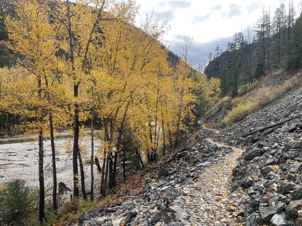
The Monument Creek trail is a mostly-unmaintained trail through the Pasayten Wilderness that connects to the Hidden Lakes trail. The first four miles of trail are well maintained and wind through old growth forests and rock slopes along the river. Find the description of that hike in our Lost River entry.

The maintained trail stops after a bridge washout at Eureka Creek, but for confident hikers the trail continues on into the Pasayten for many more miles. The section of Monument Creek trail past the bridge washout should be attempted only by confident hikers with solid navigational skills, since the trail beyond this point has not been maintained for over 30 years, so is impassable for stock and extremely difficult for hikers.

This trail is part of WTA's Lost Trails Campaign. Learn more about how we're saving lost trails across the state here.

WTA worked here in 2012!

Hike Description Written by
McKenzie Carlson, WTA Correspondent

Monument Creek

Map & Directions

Trailhead
Co-ordinates: 48.6562, -120.5127 Open in Google Maps

Before You Go

See weather forecast

Parking Pass/Entry Fee

None

WTA Pro Tip: Save a copy of our directions before you leave! App-based driving directions aren't always accurate and data connections may be unreliable as you drive to the trailhead.

Getting There

From Winthrop, drive 14 miles west on Highway 20, turn right onto Lost River Road (county road 9140). Follow Lost River Road through Mazama to the end of the paved road at 7.5 miles. The road becomes gravel on Harts Pass Road (FR 5400), 22 miles northwest of Winthrop. Travel about 0.25 mile, turn right into Monument Trailhead.

More Hike Details

Trailhead

North Cascades > Pasayten

Monument Creek (#484)

Okanogan-Wenatchee National Forest, Methow Valley Ranger District

You can improve or add to this guidebook entry!

Monument Creek

57 Trip Reports

Hiked here recently?

Submit a trip report!
 
Trip Reports