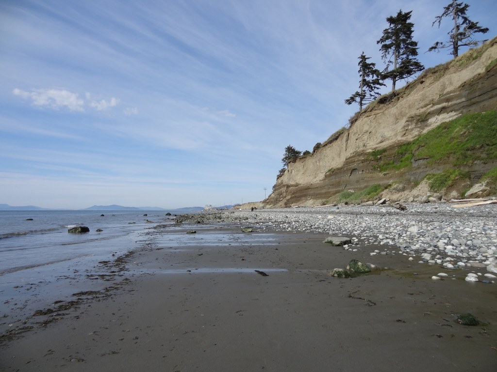

Enjoy this 2.5 mile long beach hike thanks to a donation from the Morgan Family to Whidbey Camano Land Trust.
This hike is best enjoyed at low tide, since most of it is walkable in sand. The route is still hikeable at high tide, but the way is rockier.
Along the way, spy marine life and birds, especially Bald Eagles that can be seen almost every day along the cliffs above the beach. At the far south end you can check out little tide pools (but only at low tide) and see some small marine life. Remember to look but not touch -- these animals are in their natural environment and don't want to be poked.
Visiting in the evening, there are spectacular sunsets on this beach. On a clear day with no fog you can see Olympic Mountains, Smith Island and some of the San Juan Islands.
A fantastic beach hike, and entertaining for hikers of all capabilities.
Morgan Tidelands

-
 Length
- 2.5 miles, roundtrip
-
 Elevation Gain
- 0 feet
-
 Highest Point
- 0 feet
Enjoy this 2.5 mile long beach hike thanks to a donation from the Morgan Family to Whidbey Camano Land Trust.
Continue reading
Hiking Morgan Tidelands
Morgan Tidelands
Map & Directions
 Trailhead


