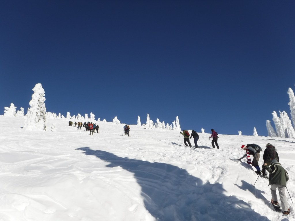

Snowshoers who wish to hike the direct route to the summit of Mount Spokane can use this winter-only route. This is a short yet difficult hike since it's a steep straight-up climb to the top!
The route runs directly from Bald Knob campground (closed in winter) to the radio towers. Hikers need to remember to stay to the left of the ski area boundary on the hike to the top.
Once on the summit, snowshoers are welcome to hike to the access point near the top of chair one, crossing at the gate, in order to visit the 1934 Vista House. The ski area operates a winter-only weekend concession stand inside, so get a cup of hot cocoa & relax by the fireplace before retracing one's steps or opting for more exploring on the park's extensive trail system.
Mount Spokane State Park - Snowshoe Summit Route

-
 Length
- 4.0 miles, roundtrip
-
 Elevation Gain
- 1,328 feet
-
 Highest Point
- 5,883 feet
This winter-only summit route is a straight shot from Bald Knob Campground to the summit of Mount Spokane.
Continue reading
Hiking Mount Spokane State Park - Snowshoe Summit Route
Mount Spokane State Park - Snowshoe Summit Route
Map & Directions
 Trailhead
Before You Go
Parking Pass/Entry Fee
Sno-Parks PermitWTA Pro Tip: Save a copy of our directions before you leave! App-based driving directions aren't always accurate and data connections may be unreliable as you drive to the trailhead.


