Trails for everyone, forever

Home Go Hiking Hiking Guide Mount Spokane State Park - Trail 131

Mount Spokane State Park - Trail 131

Eastern Washington > Spokane Area/Coeur d'Alene
47.9046, -117.1027 Map & Directions
Length
1.0 miles, one-way
Elevation Gain
550 feet
Highest Point
5,119 feet
Calculated Difficulty About Calculated Difficulty
Easy
The CCC cabin on a snowy day. Photo by California Girl Full-size image
  • Wildflowers/Meadows
  • Mountain views
  • Wildlife
  • Old growth
  • Dogs allowed on leash
  • Fall foliage

Parking Pass/Entry Fee

Discover Pass, Sno-Parks Permit
Saved to My Backpack

A year-round hike, Trail 131 is the main snowshoe access trail to Bald Knob Campground and connecting trails. Continue reading

Rating
0.00 out of 5

(0 votes) Log in to rate

Hiking Mount Spokane State Park - Trail 131

Mount Spokane State Park's Trail 131 is accessible year-round, but receives its highest use in the winter as a main snowshoe access trail. Beginning at the junction of Mount Spokane State Park Drive and the Summit Road (gated in winter; typically open early June through late September or early October), the main parking area is on the east side of Mount Spokane State Park Drive. This area is a winter SnoPark lot, and in the summer a Discover Pass is required.

Begin the hike up trail 131 by crossing Mount Spokane State Park Drive and hiking up past the green trail kiosk which marks the beginning of the trail. The trail initially skirts the Park maintenance and groomer shop, then climbs through a thick forest. At approximately 0.25 miles the trail intersects an old roadbed and turns right. It continues a few hundred feet to where trail 131 makes a sharp left turn toward Bald Knob Picnic Area. The old road continues straight/right and becomes trail 132, a summer-only trail as it intersects the alpine ski area where hiking is not permitted during the winter.

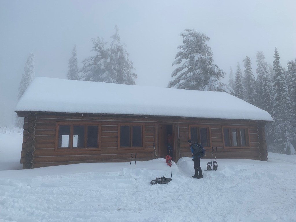
From the junction of trail 131 and 132, the trail continues climbing through a forest of subalpine fir, hemlock, western larch, lodgepole pine, and an occasional western white pine as it climbs toward Bald Knob Picnic Area and campground. Summer users can continue trail 130 as it exits Bald Knob (to the CCC cabin and beyond, as trail 130 encircles the entire summit of Mount Spokane, eventually connecting back to trail 132). Snowshoe users can also choose to follow trail 130 as far as where it intersects with the alpine ski area concession, or may choose to follow the winter-only snowshoe summit route to the top of Mount Spokane. 

WTA worked here in 2022, 2021, 2020, 2019 and 2017!

Hike Description Written by
Holly Weiler, WTA Correspondent

Mount Spokane State Park - Trail 131

Map & Directions

Trailhead
Co-ordinates: 47.9046, -117.1027 Open in Google Maps

Before You Go

See weather forecast

Parking Pass/Entry Fee

Discover Pass, Sno-Parks Permit

WTA Pro Tip: Save a copy of our directions before you leave! App-based driving directions aren't always accurate and data connections may be unreliable as you drive to the trailhead.

Getting There

From the Spokane Valley take State Route 206 to Mount Spokane State Park. The road becomes Mount Spokane State Park Drive. Continue 3.4 miles to the junction of Mount Spokane State Park Drive, the Summit Road, and Linder Ridge. The large SnoPark lot is located on the east side of the road.

More Hike Details

Trailhead

Eastern Washington > Spokane Area/Coeur d'Alene

Trail 131 (#131)

Washington State Parks

Guidebooks & Maps

https://www.mountspokane.org/images/MtSpokaneCoreTrailsParkMap.jpg

https://www.mountspokane.org/images/SnowshoeMap2019.jpg

You can improve or add to this guidebook entry!

Mount Spokane State Park - Trail 131

20 Trip Reports

Hiked here recently?

Submit a trip report!
 
Trip Reports