
Accessible from two trailheads, shady Trail 100 provides respite from both the heat of summer and the winds of winter along its approximately 3.5-mile length. For the full Trail 100 experience, start at the large SnoPark lot at the intersection of Mount Spokane Park Drive and the Summit Road.
Kitty-corner from the parking lot, Trail 100 begins along a mellow grade before plunging down the hill, running parallel to Mount Spokane Park Drive almost to the switchback parking lot.
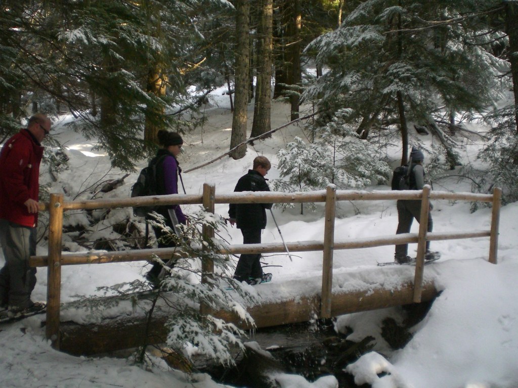
Just before the gate, it makes a sharp right-hand turn and crosses Burping Brook on the first of the WTA-built footbridges before beginning to climb.
At an intersection just past the bridge, Trail 100 is joined by Trail 110, and the trails are merged for the next 0.5-mile of climbing. At the next intersection, Trail 110 continues to climb, whereas Trail 100 veers left and crosses another tributary of Burping Brook on the second WTA-built footbridge. Here the grade mellows, even descending a few hundred feet to the next intersection.
At this intersection, look for notches in the standing dead trees along the trail. These are springboard slots which likely date to logging operations via crosscut saw following the Spokane Fire of 1889; they pre-date the existence of the park.
Bear right and continue contouring along the lower flank of Mount Kit Carson, passing the site of a future bridge over the final tributary of Burping Brook before reaching trail's end at Smith Gap. Retrace your steps to the return to the upper parking lot, or use connecting trails to form a loop.
Mount Spokane State Park - Trail 100

-
 Length
- 7.0 miles, roundtrip
-
 Elevation Gain
- 650 feet
-
 Highest Point
- 4,526 feet
Parking Pass/Entry Fee
Discover Pass
Accessible from two trailheads, shady Trail 100 provides respite from both the heat of summer and the winds of winter along its approximately 3.5-mile length.
Continue reading
Hiking Mount Spokane State Park - Trail 100

WTA worked here in 2020 and 2019!
Mount Spokane State Park - Trail 100
Map & Directions
 Trailhead
Before You Go
Parking Pass/Entry Fee
Discover PassWTA Pro Tip: Save a copy of our directions before you leave! App-based driving directions aren't always accurate and data connections may be unreliable as you drive to the trailhead.


