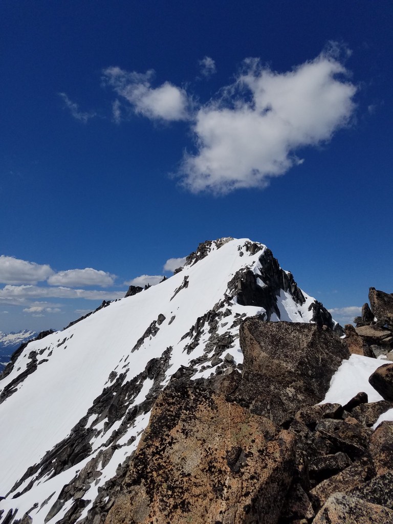

Mount Stuart is a popular climb in the Enchantments area of Washington State. Have gear and climbing expertise before you attempt this.
Mount Stuart

-
 Length
- 11.1 miles, roundtrip
-
 Elevation Gain
- 6,309 feet
-
 Highest Point
- 9,416 feet
Mount Stuart is a popular climb in the Enchantments area of Washington State. Have gear and climbing expertise before you attempt this.
Continue reading
Hiking Mount Stuart
Mount Stuart
Map & Directions
 Trailhead
Before You Go
WTA Pro Tip: Save a copy of our directions before you leave! App-based driving directions aren't always accurate and data connections may be unreliable as you drive to the trailhead.


