Trails for everyone, forever

Home Go Hiking Hiking Guide Naneum Meadows

Alert: On Oct. 1 the federal government began a partial shutdown that will impact National Parks, National Wildlife Refuges and U.S. Forest Service lands in Washington. Here's the latest information we have for hikers and campers


Naneum Meadows

Central Cascades > Blewett Pass
47.2678, -120.5815 Map & Directions
Length
3.4 miles, one-way
Elevation Gain
45 feet
Highest Point
6,164 feet
Calculated Difficulty About Calculated Difficulty
Easy

9.22.25: US 97/Blewett Pass is closed between milepost 149-178 (junction with SR 970 and junction with Ingalls Creek Rd south of US 2/97 Don Senn Memorial Interchange) due to the Labor Mountain Fire.

View along the Naneum Meadow Loop. Photo by Matt Thyer.
  • Dogs allowed on leash
  • Established campsites
  • Fall foliage
  • Mountain views
  • Ridges/passes
  • Wildflowers/Meadows
  • Wildlife

Parking Pass/Entry Fee

None
Saved to My Backpack

A short trail connects the Table Mountain road to Naneum Meadows and adventures beyond. Continue reading

Rating
2.50 out of 5

(4 votes) Log in to rate

Hiking Naneum Meadows

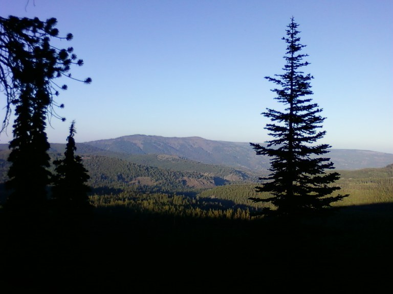
The Naneum Meadows Trail is one of several trails in Blewett Pass that offer wildflowers, mountain views and larches in the fall. It begins at Forest Road 3500 and connects to the at Naneum-Wilson Trail. Just a bit past Naneum-Wilson, you connect with Naneum Creek and Howard Creek, where you can begin to create loops and thru-hikes.

From the pullout on the Table Mountain Road, descend along a plateau and then more steeply to Owl Creek. Past the Owl Creek Crossing, the trail plateaus again before connecting to Naneum Wilson. Another switchback and a steep descent to a crossing of Naneum Creek, and you'll be at a T-intersection.

A left turn puts you on the Naneum Creek Trail; a right puts you on the Howard Creek trail. Adventure awaits you beyond here, but you'll need to plan ahead and having your navigation materials with you. Note also that this area burned in 2012 during the Table Mountain Fire. Trees are sparse and the wind is strong in this area.

Toilet Information

  • No toilet at trailhead

More information about toilets

Hike Description Written by
Multiple authors contributed to this report, WTA Community

Naneum Meadows

Map & Directions

Trailhead
Co-ordinates: 47.2678, -120.5815 Open in Google Maps

Before You Go

9.22.25: US 97/Blewett Pass is closed between milepost 149-178 (junction with SR 970 and junction with Ingalls Creek Rd south of US 2/97 Don Senn Memorial Interchange) due to the Labor Mountain Fire.

See weather forecast

Parking Pass/Entry Fee

None

WTA Pro Tip: Save a copy of our directions before you leave! App-based driving directions aren't always accurate and data connections may be unreliable as you drive to the trailhead.

Getting There

From Highway 97 at summit of Blewett Pass, go south on Forest Road 9716 to Road 9712, east on 9712, then south on Road 35 to the trailhead on top of Table Mountain.

More Hike Details

Trailhead

Central Cascades > Blewett Pass

Naneum Meadows (#1389)

Okanogan-Wenatchee National Forest, Cle Elum Ranger District

You can improve or add to this guidebook entry!

Naneum Meadows

14 Trip Reports

Hiked here recently?

Submit a trip report!
 
Trip Reports