Trails for everyone, forever

Home Go Hiking Hiking Guide Nisqually John Canyon

Nisqually John Canyon

Eastern Washington > Palouse and Blue Mountains
47.3865, -121.3848
Length
5.0 miles, roundtrip
Elevation Gain
1,400 feet
Calculated Difficulty About Calculated Difficulty
Moderate
Photo by RichP. Full-size image
  • Wildflowers/Meadows
  • Wildlife
  • Good for kids
  • Dogs allowed on leash
  • Fall foliage
  • Rivers

Parking Pass/Entry Fee

None

Canyon hike starting at the Snake River. Continue reading

Rating
5.00 out of 5

Hiking Nisqually John Canyon

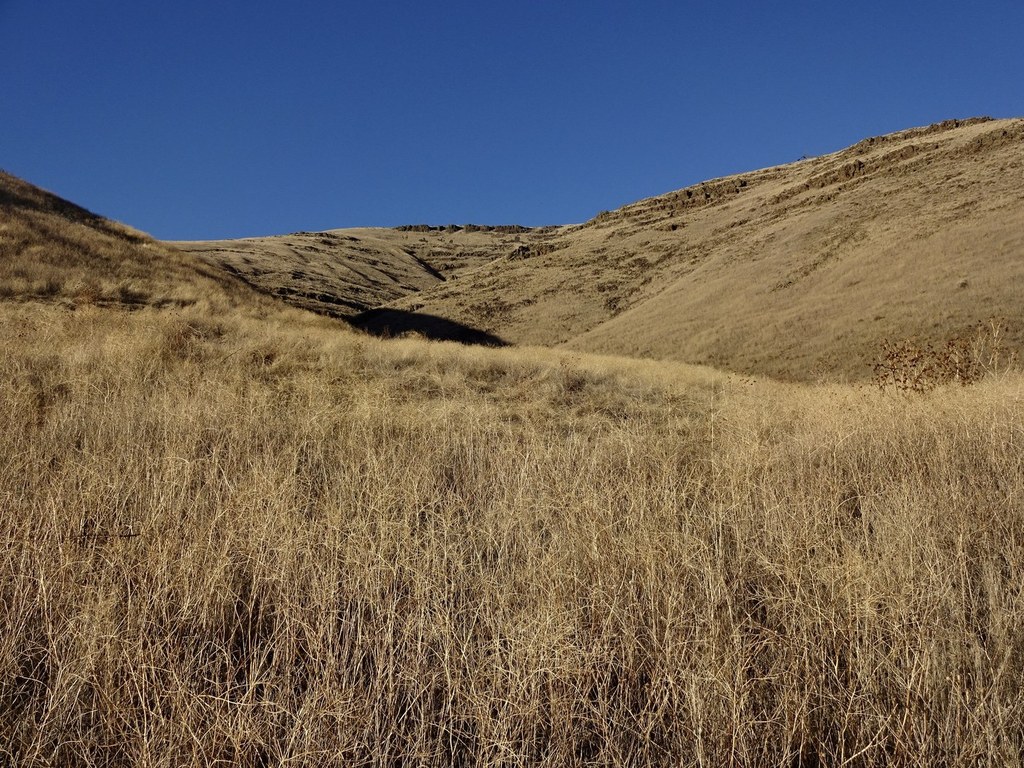
This is a US Army Corps of Engineers Wildlife Management Unit located on the Snake River northwest of Clarkston and south of Pullman. It's a canyon hike that goes up about 2.5 miles before topping out to Palouse wheat fields. The adventurous hiker can explore several side canyons for multiple trips in this area. 

Nisqually John Canyon

Map & Directions

Before You Go

Parking Pass/Entry Fee

None

WTA Pro Tip: Save a copy of our directions before you leave! App-based driving directions aren't always accurate and data connections may be unreliable as you drive to the trailhead.

Getting There

From Clarkston, WA, head west on Highway 193 for 13.3 miles. The parking area will be on your right. You can also approach from Pullman via the Wawawai Rd.

More Hike Details

Trailhead

Eastern Washington > Palouse and Blue Mountains

Army Corps of Engineers

You can improve or add to this guidebook entry

Nisqually John Canyon

3 Trip Reports

Hiked here recently?

Submit a trip report!
 
Trip Reports