Trails for everyone, forever

Home Go Hiking Hiking Guide Nisqually State Park

Nisqually State Park

Mount Rainier Area > SW - Longmire/Paradise
46.8638, -122.3285 Map & Directions

The park will be closed through fall 2025 for construction.

Rivers rush along a shore in Nisqually State Park. Photo courtesy Washington State Park. Full-size image
  • Dogs allowed on leash
  • Fall foliage
  • Good for kids
  • Old growth
  • Rivers
  • Wildlife

Parking Pass/Entry Fee

Discover Pass
Saved to My Backpack

Just a few miles west of Eatonville, off Highway 7, is Washington's newest state park. Created thanks to a partnership between the Nisqually Tribe, Washington State Parks and other local agencies, the park provides 1,300 acres of forest, prairie and riverside trails to recreate in. Continue reading

Rating
2.50 out of 5

(4 votes) Log in to rate

Hiking Nisqually State Park

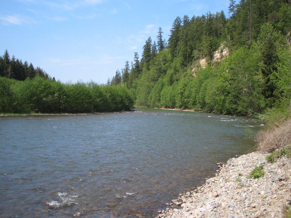
Tucked on a spit of land between the Nisqually and Mashel Rivers, and adjacent to Ohop Creek, the new park is off Mashel Prairie Road. Here, visitors will find old graveled logging roads and narrow footpaths lacing through woodland and open fields.

The park has been 30 years in the making, and continues to develop. The trailhead boasts an ADA-accessible restroom and paved parking area, as well as room for six horse trailers and a hitching post. Additionally, an interpretive kiosk tells of the way the native people in this area use and care for the land.

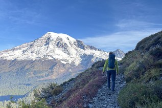
If you're comfortable with more of a ramble than a directed hike, the trails here offer a lovely opportunity to brush past salal and other understory plants as they make their way through prairie and forest to the rushing river.

For a less rugged experience, stick to the wide gravel road. You may see horses in the park during your visit. Step to the side and talk to the horses (and their riders) as they pass by.

Nisqually State Park

Map & Directions

Trailhead
Co-ordinates: 46.8638, -122.3285 Open in Google Maps

Before You Go

The park will be closed through fall 2025 for construction.

See weather forecast

Parking Pass/Entry Fee

Discover Pass

WTA Pro Tip: Save a copy of our directions before you leave! App-based driving directions aren't always accurate and data connections may be unreliable as you drive to the trailhead.

Getting There

From Spanaway, take Highway 7 south for 18 miles. Look for a right turn off Highway 7 onto Mashel Prairie Road. In less than a quarter-mile, turn left into the parking area for Nisqually State Park. Discover Pass required.

More Hike Details

Trailhead

Mount Rainier Area > SW - Longmire/Paradise

Washington State Parks

You can improve or add to this guidebook entry!

Nisqually State Park

46 Trip Reports

Hiked here recently?

Submit a trip report!
 
Trip Reports