Trails for everyone, forever

Home Go Hiking Hiking Guide North Fork Asotin Creek to Pinkham Butte

North Fork Asotin Creek to Pinkham Butte

Eastern Washington > Palouse and Blue Mountains
46.2615, -117.2987 Map & Directions
Length
20.0 miles, roundtrip
Elevation Gain
1,750 feet
Highest Point
3,080 feet
Calculated Difficulty About Calculated Difficulty
Hard
Bighorn sheep along the North Fork Asotin Creek Trail. Photo by Holly Weiler. Full-size image
  • Dogs allowed on leash
  • Established campsites
  • Old growth
  • Wildflowers/Meadows
  • Wildlife

Parking Pass/Entry Fee

Discover Pass
Saved to My Backpack

This trail follows the north fork of Asotin Creek before climbing to Pinkham Butte. Continue reading

Rating
4.00 out of 5

Hiking North Fork Asotin Creek to Pinkham Butte

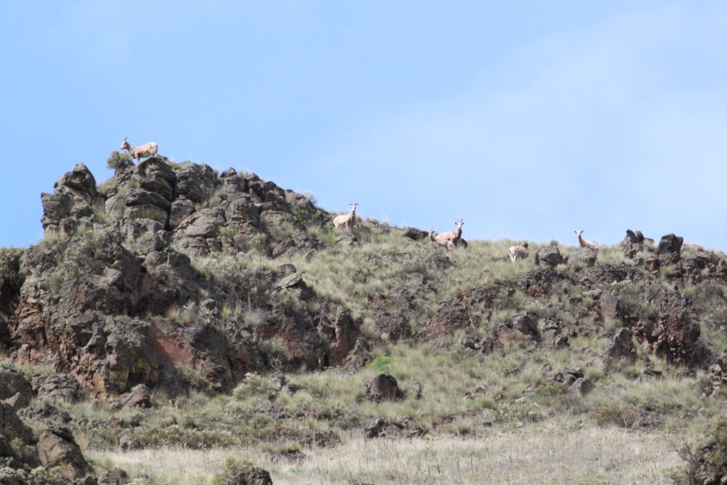
The beginning of the trail follows the course of the north fork of Asotin Creek. After about 7 miles it starts gaining elevation to Pinkham Butte. The trail is open to hikers, mountain bikes and horseback riders. Motorcycles are allowed 4 miles into the trail, as the trail leaves Washington Department of Fish and Wildlife land and enters Forest Service land. 

North Fork Asotin Creek to Pinkham Butte

Map & Directions

Trailhead
Co-ordinates: 46.2615, -117.2987 Open in Google Maps

Before You Go

There is a seasonal gate closure a mile from the trailhead every Dec 1 through March 31. Hikers can still reach the trail on foot.

See weather forecast

Parking Pass/Entry Fee

Discover Pass

WTA Pro Tip: Save a copy of our directions before you leave! App-based driving directions aren't always accurate and data connections may be unreliable as you drive to the trailhead.

Getting There

From the town of Asotin, take Asotin Creek Road west for about 15 miles to the trailhead parking area. 

More Hike Details

Trailhead

Eastern Washington > Palouse and Blue Mountains

North Fork Asotin Creek (#3125)

Washington Department of Fish and Wildlife; Umatilla National Forest, Pomeroy Ranger District

Guidebooks & Maps

Day Hiking Eastern Washington (Landers and Romano - Mountaineers Books)

USGS Potter Hill

USGS Pinkham Butte

USGS Harlow Ridge

Umatilla National Forest map

You can improve or add to this guidebook entry!

North Fork Asotin Creek to Pinkham Butte

12 Trip Reports

Hiked here recently?

Submit a trip report!
 
Trip Reports