Trails for everyone, forever

Home Go Hiking Hiking Guide North Fork Silver Creek Trail

North Fork Silver Creek Trail

Eastern Washington > Selkirk Range
48.9058, -117.5197 Map & Directions
Length
7.7 miles, one-way
Elevation Gain
4,078 feet
Highest Point
7,308 feet
Calculated Difficulty About Calculated Difficulty
Hard
North Fork Silver Creek Trail. Photo by Holly Weiler. Full-size image
  • Wildflowers/Meadows
  • Ridges/passes
  • Wildlife
  • Mountain views
  • Old growth
  • Summits
  • Dogs allowed on leash
  • Fall foliage

Parking Pass/Entry Fee

None
Saved to My Backpack

The longer, more scenic approach to Abercrombie Mountain, North Fork Silver Creek Trail is worth the extra effort involved for a hike to eastern Washington's second highest summit. Continue reading

Rating
3.00 out of 5

(4 votes) Log in to rate

Hiking North Fork Silver Creek Trail

The longer, more scenic approach to Abercrombie Mountain, North Fork Silver Creek Trail is worth the extra effort involved for a hike to eastern Washington's second highest summit.

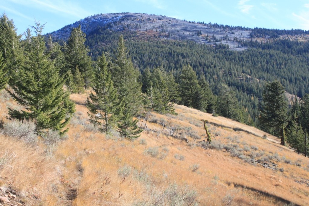
There are three trailheads to choose from for a hike up Abercrombie Mountain. For those who are concerned about the rough access roads leading to the other two trailheads, and who don't mind the extra distance involved, North Fork Silver Creek is arguably the best of the three options. Generally accessible by June of each year, this hike is ideal for a fall excursion. Western larch flank the surrounding hillsides and the trail passes through a long section of aspen grove, leading to some of the best fall colors in eastern Washington. The hike culminates in attaining the summit of Abercrombie, the second tallest peak in eastern Washington at 7,308' elevation, but also seventh on the list of ultra-prominent peaks in Washington state with a total prominence of 5,168'. In true eastern Washington fashion, hikers who ascend via North Fork Silver Creek get to traipse through not only a beautiful forest, but also a high elevation meadow filled with both wildflowers and sagebrush. This trail is a segment of the Pacific Northwest National Scenic Trail. A small campground is located adjacent to the trailhead, along with access to South Fork Silver Creek Trail for additional hiking in the area. 

North Fork Silver Creek Trail

Map & Directions

Trailhead
Co-ordinates: 48.9058, -117.5197 Open in Google Maps

Before You Go

See weather forecast

Parking Pass/Entry Fee

None

WTA Pro Tip: Save a copy of our directions before you leave! App-based driving directions aren't always accurate and data connections may be unreliable as you drive to the trailhead.

Getting There

From Deep Lake/Boundary Road turn east onto Silver Creek Road. Travel 2.3 miles and turn slightly right onto Forest Road 070/Silver Creek Road. Continue an additional 1.2 miles to the shared trailhead for both North and South Fork Silver Creek Trails, as well as a small primitive campground. 

More Hike Details

Trailhead

Eastern Washington > Selkirk Range

North Fork Silver Creek (#119)

Colville National Forest, Sullivan Lake Ranger District

Guidebooks & Maps

Day Hiking Eastern Washington

Rich Landers and Craig Romano

Mountaineers Books

Colville National Forest map

USGS Abercrombie Mountain

You can improve or add to this guidebook entry!

North Fork Silver Creek Trail

6 Trip Reports

Hiked here recently?

Submit a trip report!
 
Trip Reports