Trails for everyone, forever

Home Go Hiking Hiking Guide Nute's Pond Park
link

Nute's Pond Park

Puget Sound and Islands > Seattle-Tacoma Area
47.5817, -122.5067 Map & Directions
Length
1.5 miles, roundtrip
Elevation Gain
10 feet
Highest Point
280 feet
Calculated Difficulty About Calculated Difficulty
Easy
The pond at Nute's Park on a cloudy day. Photo by RichP. Full-size image
  • Dogs allowed on leash
  • Good for kids
  • Lakes

Parking Pass/Entry Fee

None

A small park on Bainbridge Island. Continue reading

Rating
5.00 out of 5

Hiking Nute's Pond Park

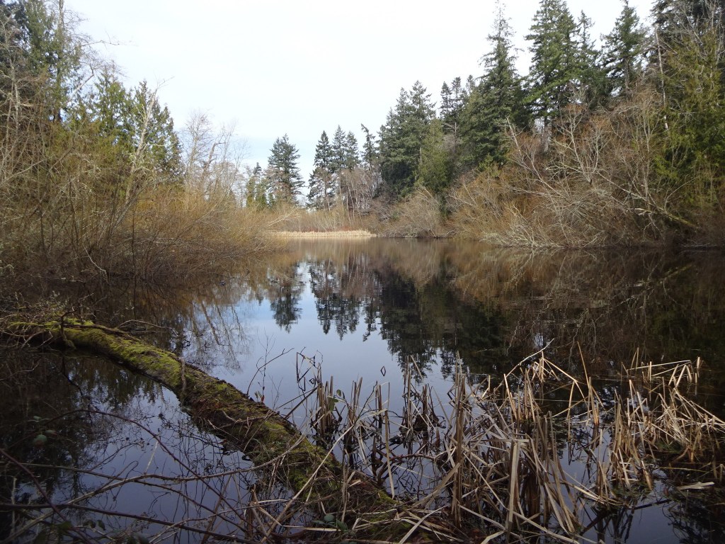
A small park on the south side of Bainbridge Island. A loop trail winds through the forest here, twice bringing hikers past the park's centerpiece, 11-acre Nute's Pond. The rest of the walk is through the lowland forests signature to the Puget Sound area.  

There are several benches to sit on and enjoy the serenity of this quiet spot on the island. and at about 1.5 miles with very little elevation gain, it's a good option for introducing people to hiking. 

Nute's Pond Park

Map & Directions

Trailhead
Co-ordinates: 47.5817, -122.5067 Open in Google Maps

Before You Go

See weather forecast

Parking Pass/Entry Fee

None

WTA Pro Tip: Save a copy of our directions before you leave! App-based driving directions aren't always accurate and data connections may be unreliable as you drive to the trailhead.

Getting There

Parking is limited to one space at Nute's Park. It is a good candidate for a bike-to-hike or even an urban hike ending here. 

More Hike Details

Trailhead

Puget Sound and Islands > Seattle-Tacoma Area

Bainbridge Island Metro Park and Recreation District

You can improve or add to this guidebook entry

Nute's Pond Park

1 Trip Report

Hiked here recently?

Submit a trip report!
 
Trip Reports