

The trails at the Pacific Rim Institute take the form of a series of loops around the 175-acre site. Trails take you past the Native Plant Center where employees tend to rare Golden Paintbrush and other native species used in research and restoration projects, the Garry Oak savannahs, active research sites and the undisturbed remnants of glacial-outwash prairie.
Begin your hike by following the gravel service road north past the Native Plant Center and behind the barn where it fades to a wide, grassy trail. Continue past the bat box and away from the nursery towards the first of a series of benches that invite you to pause and soak in the prairie scene.
The trail takes you past land that is being actively managed and restored so be extra mindful of your impact; stay on the path and consider brushing your boots at the office to limit the spread of invasive seeds that may be trapped in the mud on your shoes from previous adventures.
At the second bench, turn right to follow the trail along the northern border of the site and past the northern Garry oak savannah. After less than a quarter mile, you’ll arrive at a large barn originally built in 1910 along with a set of picnic tables (built much more recently than 1910) which is a great spot to stop and journal, snack or just sit and enjoy the birdsong. Just past the barn you’ll reach the property boundary and need to turn right to follow the trail south along the edge of the savannah.
After another 0.4 miles of hiking, you’ll have the option to either turn left and continue your walk around the southern portion of the site or continue straight for another 0.1 mile and turn right to head back towards the office and parking area.
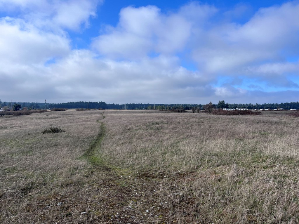
If you choose to continue hiking, follow the main path as it heads east past a line of taller conifers to your left and the open remnant prairie to your right. Follow the trail as it turns right along the property boundary once again and continue 0.25 mile before turning right/west to cross the field past a series of fenced conservation test plots.
As you walk across the field, you’ll pass through a gap in the old fence line and then turn left to begin your final loop exploring the southernmost section of savannah and continue to traverse the rolling prairie hills. After 0.25 mile, you’ll turn onto a thinner, fainter trail branching off to the right.
At the next trail junction, turn right and begin to follow the final segment of trail completing the southern loop and bringing you back towards the main path back to the office.
Once you reach the weather station, you’ll turn left one final time and follow the gravel path past the old pheasant coops taking you back to the main office, campus buildings and parking area.
This route will take you along the perimeter of the property, highlighting as much as the site has to offer, but the trails loop around each other and there are many options to extend or shorten your trip depending on how many paths you choose to walk. Pick up a map in the office or use your favorite map app’s satellite view in order to create a hike distance that best suits your fitness level or schedule.
 Trailhead


