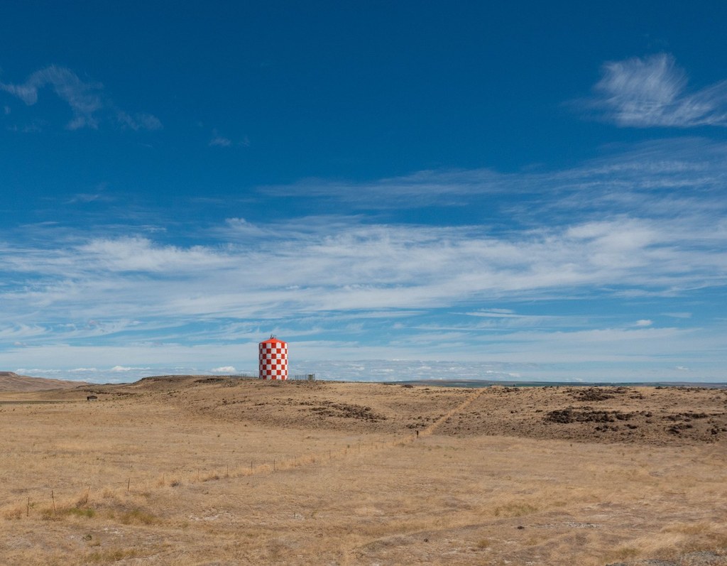

This is an 8-mile section of the longer Palouse to Cascades trail.
Palouse to Cascades Trail - Army East

-
 Length
- 8.0 miles, roundtrip
-
 Elevation Gain
- 500 feet
-
 Highest Point
- 1,500 feet
This is an 8-mile section of the longer Palouse to Cascades trail.
Continue reading
Hiking Palouse to Cascades Trail - Army East
Palouse to Cascades Trail - Army East
Map & Directions
 Trailhead
Before You Go
Parking Pass/Entry Fee
Discover PassWTA Pro Tip: Save a copy of our directions before you leave! App-based driving directions aren't always accurate and data connections may be unreliable as you drive to the trailhead.


