
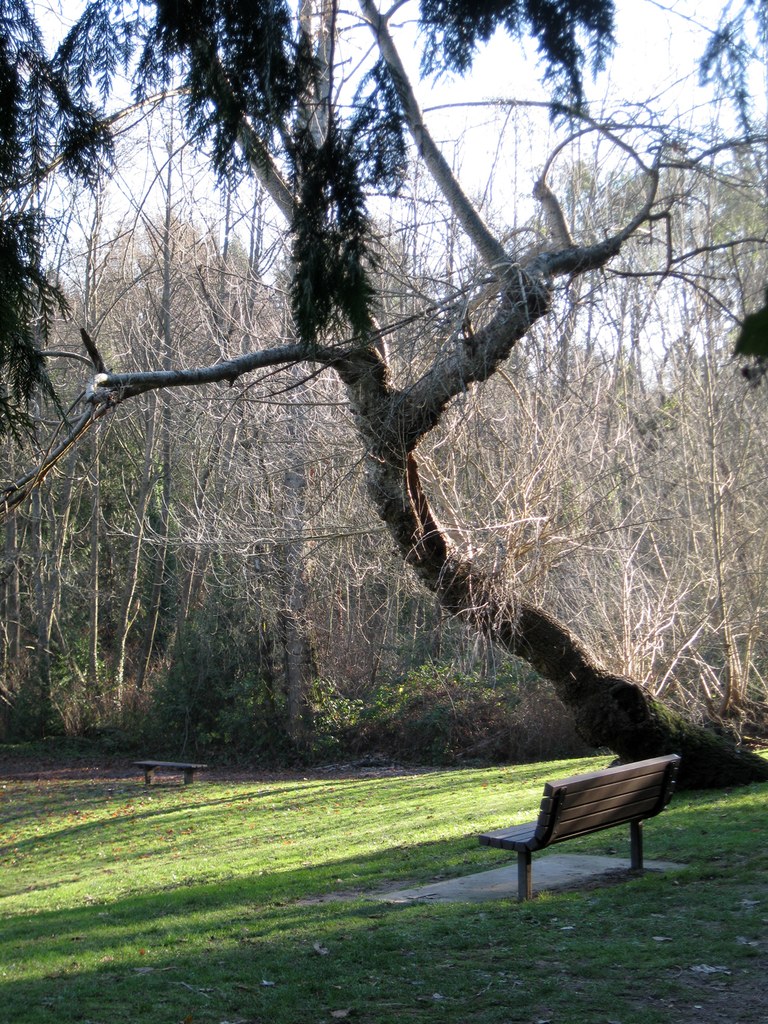

This Shoreline city park seems to be little-known outside its immediate neighborhood, but it's worth a visit. The park is minimally developed, and it offers a variety of trails through open grassy areas and forested areas.
At present (Fall 2017) no complete map of the park trails is available.
The park has four major trailheads, located at the northwest and northeast corners, and on the center-west and center-east sides. Hikers may find the approach from the northwest corner to be the most interesting. The route suggested here begins at that trailhead, but it leads past each of the other trailheads, so you can easily adapt the route if you opt for a different starting point.
From the northwest trailhead, follow the obvious trail as it heads gently downhill along a wooded slope. Soon, a mowed grassy area will begin to appear through the trees and you will reach it about 600 feet from the trailhead.
Once you reach the grassy area, note farther ahead and slightly to your right a small parking area. That's the center-west trailhead reached from NE 147th St.
Along the southern edge of the grassy area, a wide graveled trail heads east through a tunnel of high branches. Follow it about 600 feet to reach the center-east trailhead on 12th Ave NE, and note along the way a small creek, a second grassy area, and a minor trail heading off to the right.
Return back to that minor trail and head south. It meanders a bit and crosses the creek on a wooden bridge. Several improvised side trails head off uphill to the right. As of Fall 2017, these side trails all ended in brambles or in back yards, so it's best to avoid them and stay on the main trail.
The south-bound trail continues on for about 600 feet, eventually ending near a back yard with a high board fence. Outside the fence, and definitely on park property, is a very old, perhaps 1940s-ish four-wheeled loader. This artifact clearly has been parked here for a very long time, because there are significant live trees growing up through the framework.
Return to the main east-west trail and head back to the large grassy area. There may be no obvious trail across this area, but it's worth hiking up to the north end, where you will find a wide, graveled ongoing trail.
Follow that trail as it passes through a forested area for about 800 feet to reach the northeast trailhead at the corner of NE 152nd St and 11 Ave NE. From here, return to the grassy meadow and take the uphill trail back to your trailhead.
Throughout your hike you are likely to see and hear a variety of birds, and squirrel sightings are common. This is not a wildflower hike, but you may see a few flowers in spring and early summer.
For some additional photos of the park, you might check the Park Preview blog. While the text is not oriented toward hikers, the blog does offer an automated slide show. To view it, scroll down to the bottom of the blog page.
 Trailhead


