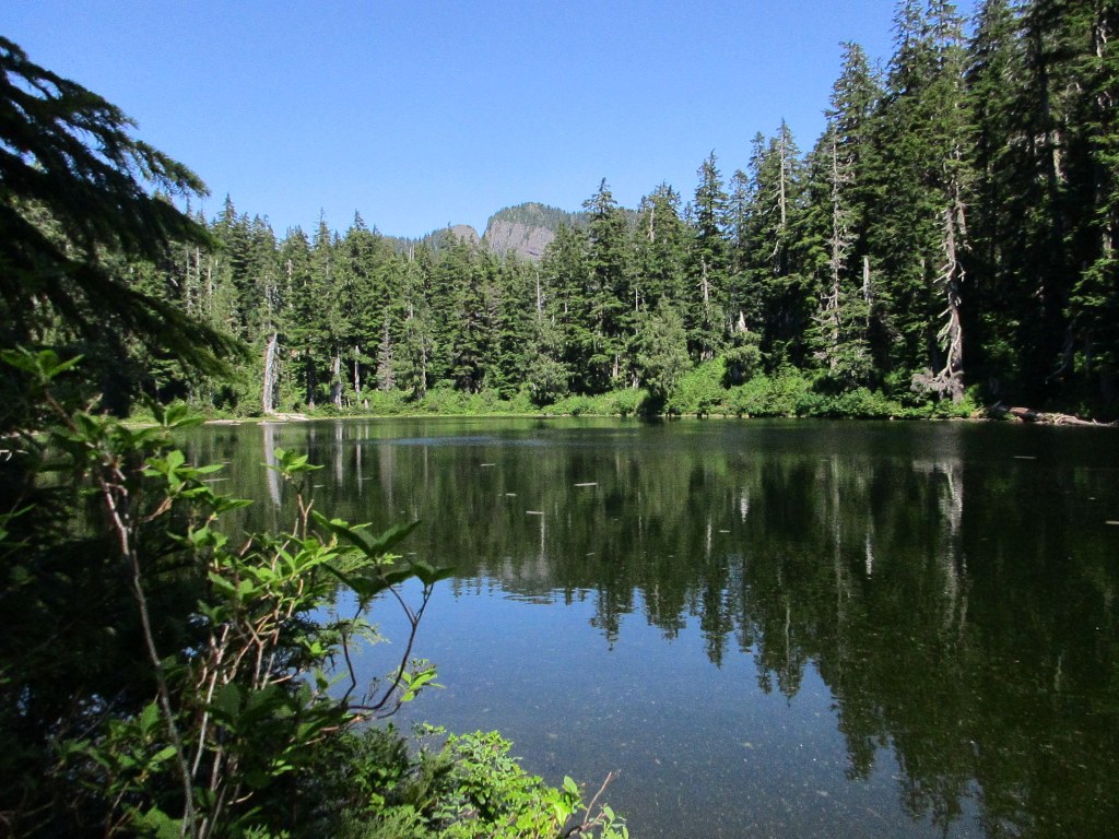

This trail goes through old-growth timber and meadows, eventually ending at 2.4-acre Pass Lake. This nine-foot-deep lake offers fair fishing.
The route beyond the lake to Falls Creek is not maintained and vanishes in the brush after a half mile. Very old maps may have record of this trail, but the way to Falls Creek is recommended only for experienced hikers and navigators.
Pass Lake

-
 Length
- 1.0 miles, roundtrip
-
 Elevation Gain
- 300 feet
-
 Highest Point
- 3,900 feet
Parking Pass/Entry Fee
None
This trail goes through old-growth timber and meadows, eventually ending at 2.4-acre Pass Lake. This nine-foot-deep lake offers fair fishing.
Continue reading
Hiking Pass Lake
Pass Lake
Map & Directions
 Trailhead
Before You Go
Parking Pass/Entry Fee
NoneWTA Pro Tip: Save a copy of our directions before you leave! App-based driving directions aren't always accurate and data connections may be unreliable as you drive to the trailhead.


