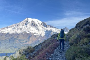
Paul Peak Snowshoe

-
 Length
- 5.6 miles, roundtrip
-
 Elevation Gain
- 1,800 feet
-
 Highest Point
- 4,800 feet
The Fairfax Bridge (3 miles south of Carbonado) is closed to all vehicle and pedestrian traffic until further notice due to safety concerns. The bridge closure renders this hike inaccessible.
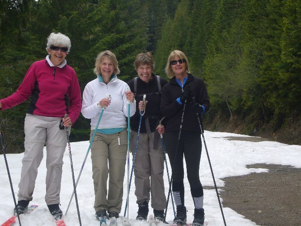

Hiking Paul Peak Snowshoe
Paul Peak Snowshoe
Map & Directions
 Trailhead
Before You Go
The Fairfax Bridge (3 miles south of Carbonado) is closed to all vehicle and pedestrian traffic until further notice due to safety concerns. The bridge closure renders this hike inaccessible.
WTA Pro Tip: Save a copy of our directions before you leave! App-based driving directions aren't always accurate and data connections may be unreliable as you drive to the trailhead.