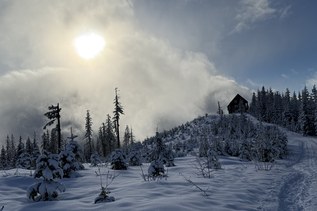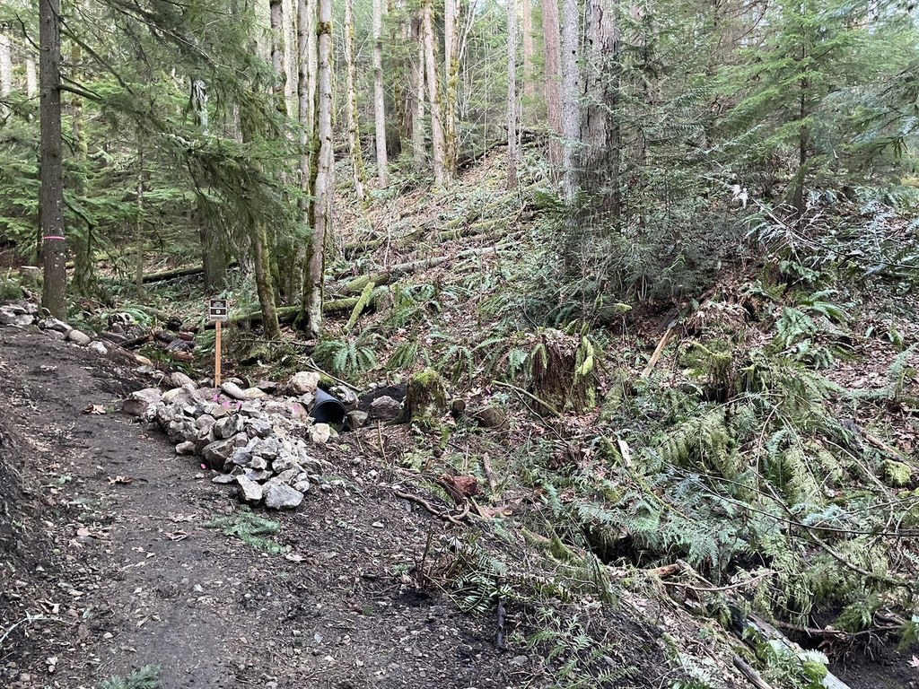

A connector trail on Tiger Mountain. Access from Tiger Mountain Trail, 15 Mile Railroad Grade, East Tiger, and Upper and Middle Bootleg Trail.
Paw Print Connector

-
 Length
- 1.1 miles, roundtrip
-
 Elevation Gain
- 100 feet
-
 Highest Point
- 2,200 feet
A connector trail on Tiger Mountain. Access from Tiger Mountain Trail, 15 Mile Railroad Grade, East Tiger, and Upper and Middle Bootleg Trail.
Continue reading
Hiking Paw Print Connector
Paw Print Connector
Map & Directions
 Trailhead
Before You Go
Parking Pass/Entry Fee
Discover PassWTA Pro Tip: Save a copy of our directions before you leave! App-based driving directions aren't always accurate and data connections may be unreliable as you drive to the trailhead.
Getting There
From Issaquah head east on Front Street (which becomes Issaquah-Hobart Road after it leaves town). About 6 miles past the city limits, turn left (north) onto SE Tiger Mountain Road. Continue for 1 mile before parking on the left shoulder at a wide pullout. The trail is on the right.