
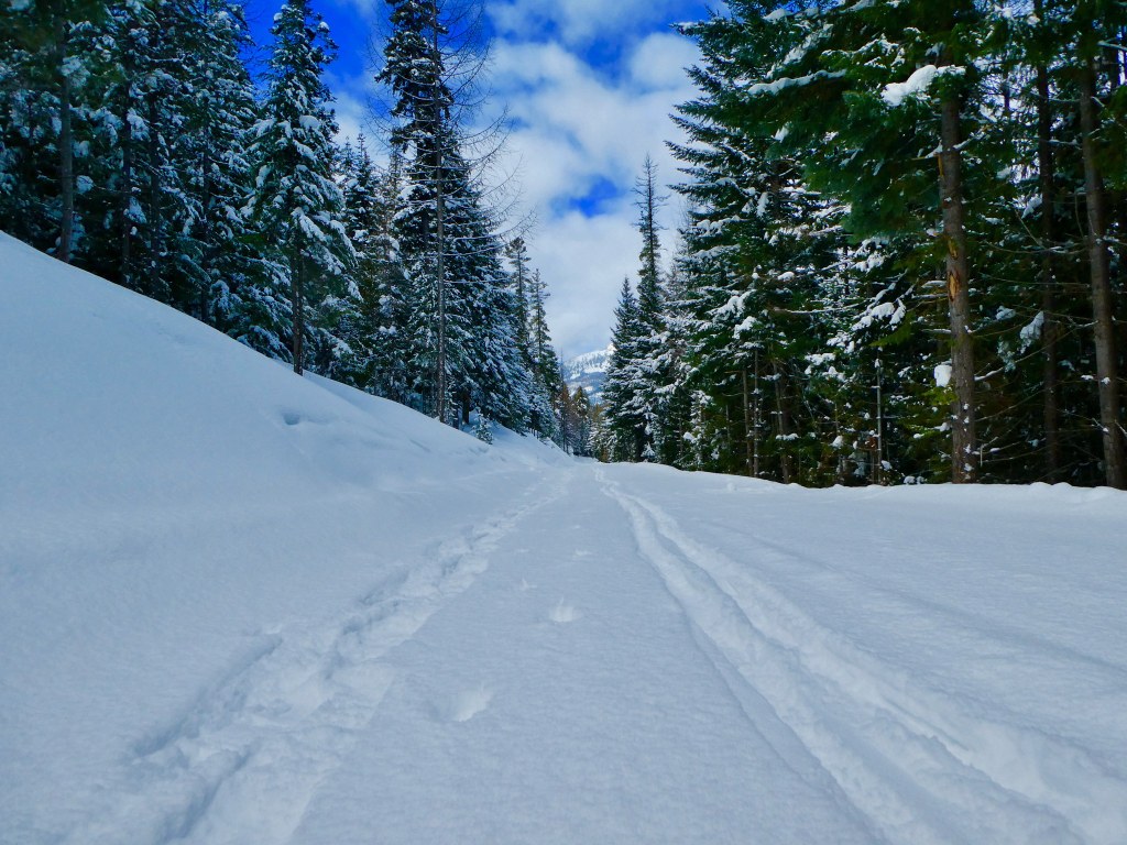

Pinegrass Ridge Sno-Park offers outings on snowmobile trails that head up to the Section 3 trailhead for Bear Creek Mountain (a fairly steep route) or more casual loops on the closer-in trail network.
One pleasant all-day outing starts from Pinegrass Sno-Park and heads up headed up FR 1205 for 2.7 miles. Then you'll take a smaller forest service road (742) and connect up with FR 1204 (the road to the Bear Creek Mountain trailhead. Follow this southwest for 2.2 miles before arriving at a junction.
At the junction, turn right and head down 1205 2.1 miles before returning to your first junction, where you'll stay to the left and return to the parking area in a final 2.7 miles.
WTA Pro-Tip: For a quieter experience, head a little bit further west to Clear Lake, where a groomed cross-country trail system awaits. Small loops are available here, or a longer trip down the North Fork Tieton River road.
 Trailhead


