

The Pleasant Valley Loop forms a long thin oval around Highway 410, just east of Mount Rainier. Although this trail never ventures too far from the Highway, hikers will get a wilderness experience nonetheless. .
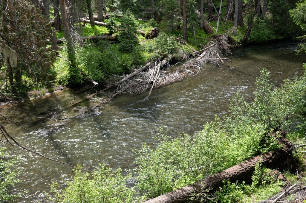
The portion of the trail south of the highway is more scenic, following along the American River and falling within the William O. Douglas Wilderness. On the north side of the highway, the trail trends closer to the road, and has a few connections along dirt roads. Most of the loop travels through forest that burned in 2017, which can lead to blowdowns over the trail.
The Goat Peak trailhead makes for a good starting point. For a counterclockwise loop, cross over Highway 410 (remembering the golden rule to look both ways for traffic first) head west for a couple hundred feet on the shoulder of the highway, then turn right onto the obvious dirt road—the entrance to Hell’s Canyon Campground. A few hundred more feet up this road and you can pick up the Pleasant Valley Loop Trail on the left. If you continue up this dirt road for a bit longer you’ll find a forest service privy.
Now you’re heading west. After about 2.2 miles from Hell’s Canyon Campground you’ll cross over Miner Creek, then continue on as the trail closely parallels the highway for about another 3 miles before ending at Highway 410 again. Cross to the other side of the road, continue west for a few hundred feet, crossing over the American River. Shortly after crossing the river, pick up the trail heading into the trees on your left. From this point it’s about 2.5 miles more heading east until you arrive at a junction. Head right, then after a little under a mile, turn left at the next fork.
A little over a mile later you’ll arrive at a crossroads. You have some options here. Stay straight to continue on the Pleasant Valley Loop. If you’re looking for a side trip, consider a short spur trail to the left which heads down to the river. Or head right on a trail which climbs up, arriving at a spur trail to Pleasant Valley Lake in under a mile.
Continuing on the Pleasant Valley Loop, you’ll continue trending east. Now the trail meanders closer to the banks of the American River. After 2.3 miles from the crossroads, you’ll arrive back at Highway 410 and the Goat Peak Trailhead.
With a couple highway crossings, and several turns and junctions, this is not the most glamourous loop through the woods, but it offers an all-purpose trail that can be chunked up into mostly flat options for hikers who want to plan their own route as well as connections and extensions to other trails in the area.

 Trailhead


