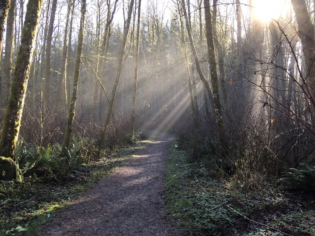

Cougar Mountain Regional Wildland Park is a mishmash of roads, trails, abandoned Army missile silos, and plenty of wildlife.
Cougar really do live here, and plenty of other creatures stumble across the trail from time to time. Not only is Cougar Mountain King County’s largest park, it is one of the largest wildland parks in an urban area in the United States. Amazing views can be had from high up, from the Seattle area to the beginnings of Snoqualmie Pass.
The Precipice Top trail is a short connector that WTA has recently worked on, rerouting it off of private property and making it more conveniently accessed for the public. From the Precipice Top trail, hikers can access Big Tree Ridge Trail, the Red Cedar Trail, and lots of the other trails that Cougar Mountain has to offer. Loop options exist, or a simple out and back can be a great way to escape to the forest, just a for moment.
Precipice Top Trail

-
 Length
- 0.3 miles, one-way
-
 Elevation Gain
- 181 feet
-
 Highest Point
- 957 feet
Cougar Mountain Regional Wildland Park is a mishmash of roads, trails, abandoned Army missile silos, and plenty of wildlife. Not only is Cougar Mountain King County’s largest park, it is one of the largest wildland parks in an urban area in the United States.
Continue reading
Hiking Precipice Top Trail

WTA worked here in 2014!
Map & Directions
 Trailhead
Before You Go
Parking Pass/Entry Fee
NoneWTA Pro Tip: Save a copy of our directions before you leave! App-based driving directions aren't always accurate and data connections may be unreliable as you drive to the trailhead.
Getting There
From I-90: Take Exit 15, which is signed for WA 900 and Lake Sammamish State Park. Turn south on WA 900 towards Renton for a little over a mile passing Gilman Blvd and Newport Way. Turn right at NW Talus Drive. Follow this a little over a half mile until Shangri-La Way NW. Turn right and follow for a half mile curving to the right. At Bear Ridge Drive NW, turn left and follow the road for 0.3 miles. Turn left at Bear Ridge Court NW and follow this to the parking lot.


