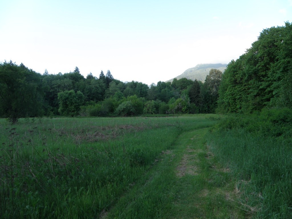

This county park consists of 40 acres of old homestead land in Marblemount. The park is for day use only and includes a picnic shelter, fishing and hiking trails. The aptly named Birding Trail, opened in 2003, that runs around the perimeter of the park is a great place to look for bald eagles and other beautiful birds.
Pressentin Park

-
 Length
- 2.0 miles, roundtrip
-
 Elevation Gain
- 10 feet
-
 Highest Point
- 327 feet
Parking Pass/Entry Fee
None
This county park consists of 40 acres of old homestead land in Marblemount. The park is for day use only and includes a picnic shelter, fishing and hiking trails.
Continue reading
Hiking Pressentin Park
Pressentin Park
Map & Directions
 Trailhead
Before You Go
Parking Pass/Entry Fee
NoneWTA Pro Tip: Save a copy of our directions before you leave! App-based driving directions aren't always accurate and data connections may be unreliable as you drive to the trailhead.
Getting There
There is parking at the Shell station in Marblemount. To get there from I-5 N, take exit 208 towards Arlington/Darrington to get onto Hwy 530 E. In around 0.2 mile from the exit, take a right to get onto Hwy 530 E. After about 3.7 miles, make a left to at the stop lights to stay on Hwy 530 E. In about 0.1 mile, make a right to continue on Hwy 530 E for another about 28 miles to Darrington where you will make another right to stay on Hwy 530 E. In about 18.6 miles, take a right to get onto Hwy 20. After approximately 8.2 miles, you will find a sign from Pressentin Park on the right just before the Shell station.


