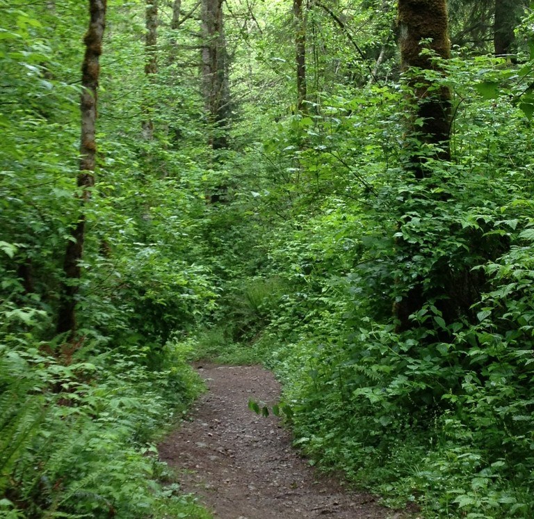

A trail leading from Coal Creek Falls that takes hikers even deeper into Cougar Mountain Wildland Park. Make loops including the Red Town trail, Fred's Railroad, By Pass Trail, Old Man's Trail, even hike through to the other side of the park.
Quarry

-
 Length
- 1.0 miles, one-way
-
 Elevation Gain
- 563 feet
-
 Highest Point
- 1,312 feet
A trail leading from Coal Creek Falls that takes hikers even deeper into Cougar Mountain Wildland Park.
Continue reading
Hiking Quarry

WTA worked here in 2001 and 2000!
Quarry
Map & Directions
 Trailhead
Before You Go
Parking Pass/Entry Fee
NoneWTA Pro Tip: Save a copy of our directions before you leave! App-based driving directions aren't always accurate and data connections may be unreliable as you drive to the trailhead.


