Trails for everyone, forever

Home Go Hiking Hiking Guide Radio Peak

Radio Peak

Issaquah Alps > Cougar Mountain
47.5342, -122.1137 Map & Directions
Length
0.4 miles, one-way
Elevation Gain
180 feet
Highest Point
1,440 feet
Calculated Difficulty About Calculated Difficulty
Easy
View from Radio Peak. Photo by rustysailor. Full-size image
  • Wildlife
  • Dogs allowed on leash
  • Fall foliage

Parking Pass/Entry Fee

None

The Radio Peak Trail travels for just under half a mile in the northern reaches of Cougar Mountain. It is part of the vast trail network in the park and does not have its own devoted trailhead. Continue reading

Rating
2.00 out of 5

(4 votes) Log in to rate

Hiking Radio Peak

The Radio Peak Trail travels for just under half a mile in the northern reaches of Cougar Mountain. It is part of the vast trail network in the park and does not have its own devoted trailhead.

Start out from the Sky Country Trailhead travelling east on Clay Pit Road for about 1000 feet before reaching the turn off for Coyote Creek Trail on your left. Take this for half a mile. At the first fork turn left on the Radio Peak Trail.

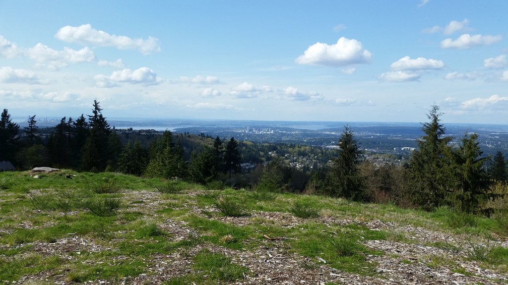
The Radio Peak Trail climbs gently to a high point before ending at the park boundary. Along the way a short spur trail splits off to connect with an adjoining neighborhood.

Hike Description Written by
Multiple authors contributed to this report, WTA Community

Radio Peak

Map & Directions

Trailhead
Co-ordinates: 47.5342, -122.1137 Open in Google Maps

Before You Go

See weather forecast

Parking Pass/Entry Fee

None

WTA Pro Tip: Save a copy of our directions before you leave! App-based driving directions aren't always accurate and data connections may be unreliable as you drive to the trailhead.

Getting There

From I-90, just west of Issaquah, take Exit 13 and head south (right) on Lakemont Blvd SE. In about 2.3 miles turn left onto SE Cougar Mountain Way. In 0.6 miles, turn right onto 166th Way SE. Follow this street (stay left at 166th Pl SE, a minor side street) and in about 0.8 miles come to the Sky Country Trailhead and its large parking lot. Along the way, the street will have changed names to Clay Pit Road which is gated here at the trailhead. Toilets are available at the trailhead.

More Hike Details

Trailhead

Issaquah Alps > Cougar Mountain

Radio Peak (#COUGAR-N3)

King County Parks

You can improve or add to this guidebook entry

Radio Peak

13 Trip Reports

Hiked here recently?

Submit a trip report!
 
Trip Reports