Trails for everyone, forever

Home Go Hiking Hiking Guide Rampart Ridge Snowshoe

Rampart Ridge Snowshoe

Mount Rainier Area > SW - Longmire/Paradise
46.7498, -121.8137 Map & Directions
Length
4.5 miles, roundtrip
Elevation Gain
1,200 feet
Highest Point
4,050 feet
Calculated Difficulty About Calculated Difficulty
Moderate
A look across the Nisqually river valley. Photo by Happytrailman. Full-size image
  • Dogs not allowed
  • Mountain views
  • Old growth
  • Ridges/passes

Parking Pass/Entry Fee

National Park Pass
Saved to My Backpack

A moderately challenging snowshoe route in Mount Rainier National Park with some avalanche danger in times of heavy snow. Continue reading

Rating
3.75 out of 5

(4 votes) Log in to rate

Hiking Rampart Ridge Snowshoe

Be sure to check the avalanche reports before heading out, and know that while some snowshoe routes follow summer trails, they are not always clearly marked when under snow. You will need a map and navigation skills to do this route in winter.

The route departs from the Longmire area of Rainier. From the parking area near the Longmire building complex (including restrooms, a museum and a hotel), cross the road and link up with the Trail of the Shadows. Turn left, and walk for about 0.1 mile to a junction with the Rampart Ridge Trail.

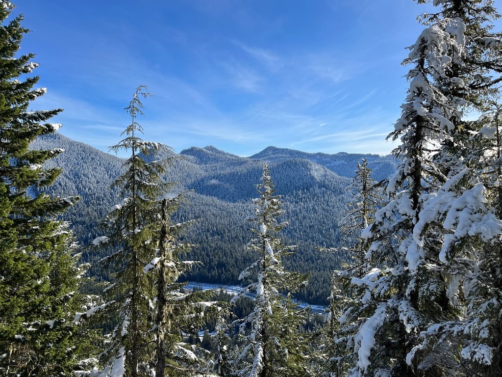
The Trail of the Shadows is a nice fallback, which you can hike if there is too much snow to do the Rampart Ridge snowshoe. But if you're heading up to Rampart Ridge, turn left here and start switchbacking uphill. It's 1.6 miles to the top of the ridge (which can be quite tiring in snowshoes), and then another mile to a junction with the Wonderland Trail.

You'll turn right at this junction and head downhill on much steeper terrain than you came up (you might want trekking poles as well as snowshoes). It's 1.7 miles back down to the road and another 0.1 mile to the parking area.

Rampart Ridge Snowshoe

Map & Directions

Trailhead
Co-ordinates: 46.7498, -121.8137 Open in Google Maps

Before You Go

See weather forecast

Parking Pass/Entry Fee

National Park Pass

WTA Pro Tip: Save a copy of our directions before you leave! App-based driving directions aren't always accurate and data connections may be unreliable as you drive to the trailhead.

Getting There

From I-5, take exit 143 for S 320th St toward Federal Way. Stay in the left 2 lanes to turn left onto S 320th and proceed for 0.8 mile. Turn right onto Military Road S and drive for 4.4 miles, then turn left onto WA-161 S and proceed for 3.9 miles.

Get into the two left-hand lanes, and turn left onto WA-167 N toward WA 410, then take the exit for 512 W toward 161 S. Proceed on 512 W for 2.5 miles, then exit for South Hill. Follow the signs for 161S/Eatonville/Mount Rainier.

Stay on 161 S for 22.6 miles, then turn left onto Center St. E, into Eatonville. Continue onto Alder Cutoff Road E for 6.5 miles, then at a "T" intersection, turn left onto WA-7 S. Drive through the tiny town of Elbe and continue along Hwy 706, which becomes the Paradise Road when you enter the park. Longmire is about 25 miles from the "T" intersection before Elbe.

Park in the large parking area at Longmire, and head back across the paved highway to find the Trail of the Shadows and your trailhead.

More Hike Details

Trailhead

Mount Rainier Area > SW - Longmire/Paradise

Mount Rainier National Park

You can improve or add to this guidebook entry!

Rampart Ridge Snowshoe

77 Trip Reports

Hiked here recently?

Submit a trip report!
 
Trip Reports