Trails for everyone, forever

Home Go Hiking Hiking Guide Richmond Mine

Richmond Mine

Mount Rainier Area > Chinook Pass - Hwy 410
46.8789, -121.2824 Map & Directions
Length
9.0 miles, roundtrip
Elevation Gain
5,006 feet
Highest Point
6,241 feet
Calculated Difficulty About Calculated Difficulty
Hard
Richmond Lake. Photo by Birdman. Full-size image
  • Dogs allowed on leash
  • Lakes
  • Mountain views
  • Ridges/passes
  • Summits

Parking Pass/Entry Fee

None
Saved to My Backpack

A trail that leads into the William O. Douglas wilderness, Richmond Mine offers miles of rugged rambling through a remote part of the state. Continue reading

Rating
2.40 out of 5

(5 votes) Log in to rate

Hiking Richmond Mine

This trail is within William O. Douglas Wilderness, and part of a trail network that offers miles-long, rugged backpacking options.

Hikers will start from the Bumping Crossing Campground and head southeast before jogging south and continuing on for 4.8 miles. Along the way hikers will cross Thunder Creek several times, and climb steadily to a saddle above Richmond Lake. 

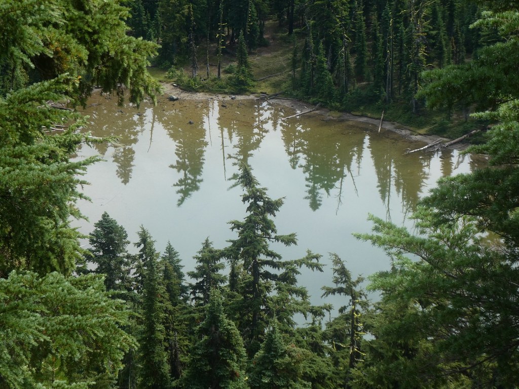
The trail itself continues past the lake into the Rattlesnake drainage and offers more opportunities to explore and camp.

However, this area has seen several burns and little maintenance. Hiking this trail and others in the area, people can expect to encounter downed trees, dense brush, and other hazards associated with unmaintained trails.

Toilet Information

  • No toilet at trailhead

More information about toilets

WTA worked here in 2024 and 2023!

Richmond Mine

Map & Directions

Trailhead
Co-ordinates: 46.8789, -121.2824 Open in Google Maps

Before You Go

See weather forecast

Parking Pass/Entry Fee

None

WTA Pro Tip: Save a copy of our directions before you leave! App-based driving directions aren't always accurate and data connections may be unreliable as you drive to the trailhead.

Getting There

The trailhead is accessed from State Route 410 to Bumping Lake Road 1800.  Drive 10 miles to a spur road on the left just past bridge at Bumping Crossing. There is dispersed camping here, but no toilets or horse facilities. Parking is available for four trailers and four cars.

More Hike Details

Trailhead

Mount Rainier Area > Chinook Pass - Hwy 410

Richmond Mine (#973)

Okanogan-Wenatchee National Forest, Naches Ranger District

You can improve or add to this guidebook entry!

Richmond Mine

15 Trip Reports

Hiked here recently?

Submit a trip report!
 
Trip Reports