Trails for everyone, forever

Home Go Hiking Hiking Guide Riverside State Park - Trail 211
WTA is a nonprofit that needs you

We're just as excited as you to get the summer hiking season started. We're psyched our website, app and work for trails help you get outside.

But we're a nonprofit that runs on donations from regular people. If everyone who visited this site this holiday weekend donated $9/month, it would fully fund our work for the next 2 years. Time spent outdoors is priceless, but every donation large or small helps us support those experiences for everyone. Thank you and happy hiking!


Please take 2 minS to chip in $9

link

Riverside State Park - Trail 211

Eastern Washington > Spokane Area/Coeur d'Alene
47.6961, -117.4955 Map & Directions
Length
1.0 miles, roundtrip
Highest Point
1,750 feet
Trail 211 goes through open forest. Photo by California Girl Full-size image
  • Wildflowers/Meadows
  • Dogs allowed on leash
  • Good for kids
  • Rivers

Parking Pass/Entry Fee

Discover Pass
Saved to My Backpack

Trail 211 is a short connector trail located within Riverside State Park. Continue reading

Rating
0.00 out of 5

(0 votes) Log in to rate

Hiking Riverside State Park - Trail 211

Trail 211 is a short connector trail located within Riverside State Park. It is most easily accessed from Bowl & Pitcher. Begin by crossing the Swinging Bridge, then head north on Trail 25. At the first trail junction, Trail 25 turns northeast toward the river, Trail 210 climbs a short & steep hill to the northwest, and Trail 211 continues north.

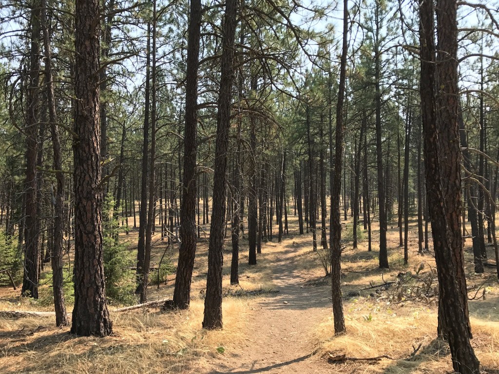
It stays just below the steep basalt rocks in a treed flat area. After a short distance it intersects Centennial Trail at a CXT toilet, then continues farther north through an old burn. It dead-ends the second time it reaches Centennial Trail, but hikers can choose to continue their trek and form excellent loop routes by connecting to one of several other trails at that location.

Riverside State Park - Trail 211

Map & Directions

Trailhead
Co-ordinates: 47.6961, -117.4955 Open in Google Maps

Before You Go

See weather forecast

Parking Pass/Entry Fee

Discover Pass

WTA Pro Tip: Save a copy of our directions before you leave! App-based driving directions aren't always accurate and data connections may be unreliable as you drive to the trailhead.

Getting There

Bowl & Pitcher campground and trailhead is located at 4427 N Aubrey L White Parkway, Spokane, WA 99205. From downtown Spokane it is most easily reached via Petit Drive to Downriver Drive. From north Spokane it is most easily reached from SR 291 to W. Rifle Club Road.

More Hike Details

Trailhead

Eastern Washington > Spokane Area/Coeur d'Alene

Trail 211 (#211)

Washington State Parks

Guidebooks & Maps

Riverside State Park Trail Map

You can improve or add to this guidebook entry!

Riverside State Park - Trail 211

4 Trip Reports

Hiked here recently?

Submit a trip report!
 
Trip Reports