
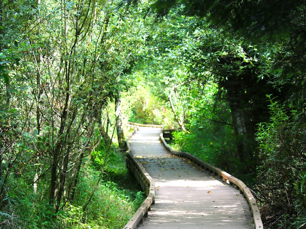

Families will enjoy this small community park in the city of Woodinville. Take a walk in the woods along a half-mile boardwalk loop trail that passes aside Little Bear Creek, or blow off some energy on the playground or climbing boulder.
When you're done, there are picnic benches and tables available to have a snack.
 Trailhead


