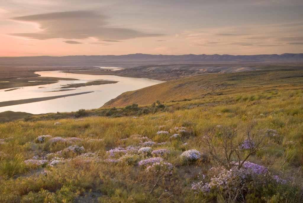
This National Wildlife Refuge is part of the bigger Hanford Reach National Monument. No official trails exist here, but there are some access roads function as paths for hikers seeking ridge top views. These roads are a remnant of this site's military past.
Visitors can see views of the Columbia River down below and expansive vistas of shrub steppe. In the spring wildflowers are abundant.
Saddle Mountain East


-
Wildflowers/Meadows
-
Ridges/passes
-
Wildlife
-
Rivers
Parking Pass/Entry Fee
Discover Pass
This National Wildlife Refuge is part of the bigger Hanford Reach National Monument. No official trails exist here, but some access roads open up the views from these ridges.
Continue reading
Hiking Saddle Mountain East
Map & Directions
Before You Go
Parking Pass/Entry Fee
Discover PassWTA Pro Tip: Save a copy of our directions before you leave! App-based driving directions aren't always accurate and data connections may be unreliable as you drive to the trailhead.
Getting There
The Saddle Mountain National Wildlife Refuge is located north of State Route 24. From Othello, drive west on SR-24 for about 18 miles, then turn right onto a gravel access road that will take you into the refuge. This is a remote area, so the road conditions are largely dependent on recent weather conditions.
More Hike Details
Trailhead
Central Washington > Tri-Cities
U.S. Fish and Wildlife Service, Hanford Reach National Monument
Guidebooks & Maps
Best Desert Hikes: Washington (Bauer & Nelson - Mountaineers Books)
Washington State Department of Natural Resources (DNR) Priest Rapids
You can improve or add to this guidebook entry!