Trails for everyone, forever

Home Go Hiking Hiking Guide Scriber Lake

Alert: On Oct. 1 the federal government began a partial shutdown that will impact National Parks, National Wildlife Refuges and U.S. Forest Service lands in Washington. Here's the latest information we have for hikers and campers


Scriber Lake

Puget Sound and Islands > Seattle-Tacoma Area
47.8196, -122.3094 Map & Directions
Length
1.0 miles, roundtrip
Highest Point
360 feet

The trail around the lake is closed through summer 2025 for construction.

View of a boardwalk on Scriber Lake. Photo by wafflesnfalafel Full-size image
  • Dogs allowed on leash
  • Good for kids
  • Lakes

Parking Pass/Entry Fee

None
Saved to My Backpack

An easy walk around a small urban lake and wetland area. Continue reading

Rating
2.50 out of 5

(2 votes) Log in to rate

Hiking Scriber Lake

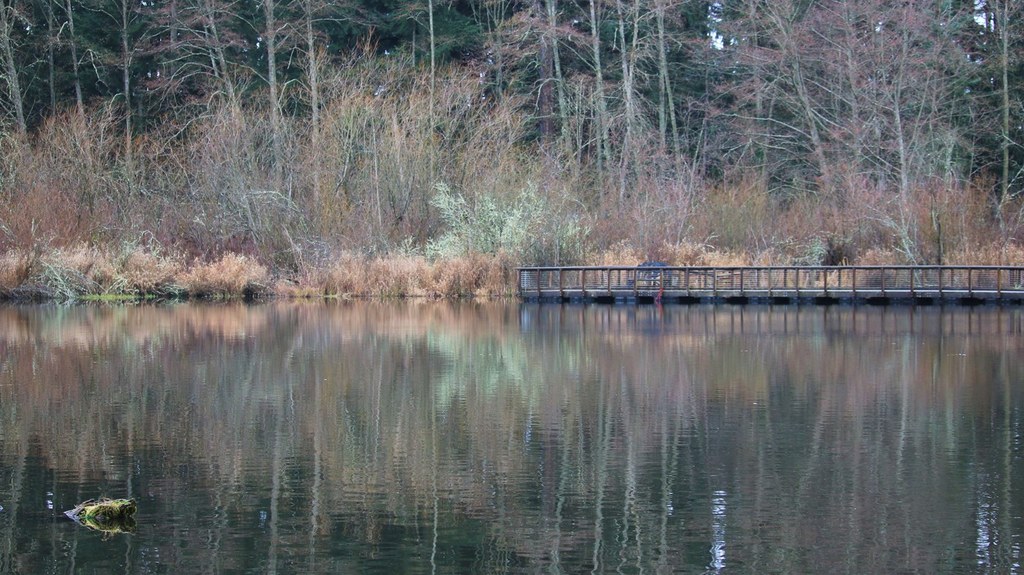
One mile of trail around Scriber Lake offering views of the water and wetland areas. Trail consist of paved, built up woodchip and boardwalk sections.  

Hike Description Written by
Erik Morgenstern, WTA Correspondent

Scriber Lake

Map & Directions

Trailhead
Co-ordinates: 47.8196, -122.3094 Open in Google Maps

Before You Go

The trail around the lake is closed through summer 2025 for construction.

See weather forecast

Parking Pass/Entry Fee

None

WTA Pro Tip: Save a copy of our directions before you leave! App-based driving directions aren't always accurate and data connections may be unreliable as you drive to the trailhead.

Getting There

driving directions

Take Scriber Lake Rd to 198th St SW, and continue east for one block. Parking will be on your left.

take transit

Take the bus to the trailhead! Plan your trip by bus using TOTAGO.

More Hike Details

Trailhead

Puget Sound and Islands > Seattle-Tacoma Area

Scriber Lake (#0)

City of Lynnwood

You can improve or add to this guidebook entry!

Scriber Lake

12 Trip Reports

Hiked here recently?

Submit a trip report!
 
Trip Reports