

Seance Peak can be reached via the East Fork Buttermilk Trailhead.
Hiking Seance Peak
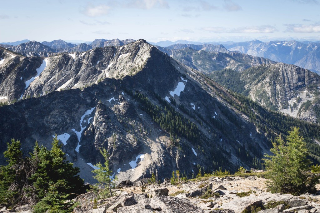
Seance Peak
Map & Directions
 Trailhead
Before You Go
Parking Pass/Entry Fee
NoneWTA Pro Tip: Save a copy of our directions before you leave! App-based driving directions aren't always accurate and data connections may be unreliable as you drive to the trailhead.
Getting There
From Twisp drive west on Twisp River Road for about 10 miles, turn left onto Forest Service Road 43, stay left and follow the road for about 6 miles. Turn right on Forest Service Road 4300-400 and follow it for about 3.2 miles to the roadside parking at the trailhead at a switchback.


