Trails for everyone, forever

Home Go Hiking Hiking Guide Silver Creek Trail
link

Silver Creek Trail

South Cascades > White Pass/Cowlitz River Valley
46.6991, -121.8134 Map & Directions
Length
4.5 miles, one-way
Elevation Gain
1,200 feet
Highest Point
4,080 feet
Calculated Difficulty About Calculated Difficulty
Moderate

Skate Creek Road (FR-52) is closed from milepost 5.7 (north end) to milepost 18.5 (south end) for the winter.

A mossy creek along the Silver Creek Trail. Photo by SarahEC. Full-size image

This lesser known hike connects two forest service roads via a gentle trail that takes visitors through a shady forest of old growth. Continue reading

  • Mountain views
  • Old growth
  • Dogs allowed on leash
Rating
0.00 out of 5

(0 votes) Log in to rate

Hiking Silver Creek Trail

While driving to this trailhead you will pass the site of the old Bear Prairie ranger station that was built in 1906 and operated until the opening of the Skate Creek Road in 1947. Then as you near the trailhead you will have to decide where to park. About half a mile before the official trailhead there is a wide pullout which doubles as a shooting range. You can park here or continue on as the road turns into an ATV trail that is passable in most cars. Low hanging branches may scratch your vehicle on this stretch. If you park at the gravel pullout you will need to walk this section of road to get to the official trailhead.

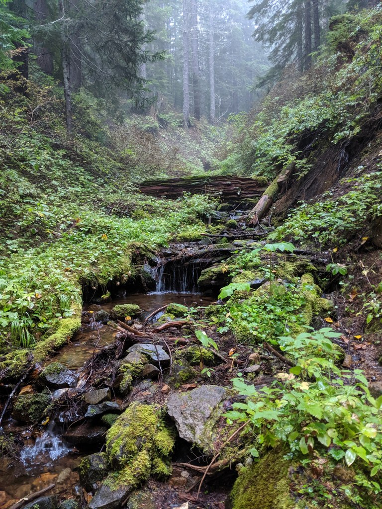
This hike is more about enjoying a nature walk than about a dramatic destination, although there are some good views along the way. Once on the trail, visitors are engulfed in a shady conifer forest. After a little over a mile, Forest Road 5222 bisects the trail--you will have to hop over the road to continue on. From this point, the trail goes uninterrupted through a mixed forest that includes some old growth, and after 4.5 total miles of gradual but steady incline, the trail ends at Forest Road 84. 

This trail is open to hikers as well as motorcycles, mountain bikes and horses, although motorized use is restricted seasonally. Dogs are allowed, but they must be on leash.

Hike Description Written by
Charlie Wakenshaw, WTA Staff

Silver Creek Trail

Map & Directions

Trailhead
Co-ordinates: 46.6991, -121.8134 Open in Google Maps

Before You Go

Skate Creek Road (FR-52) is closed from milepost 5.7 (north end) to milepost 18.5 (south end) for the winter.

See weather forecast

WTA Pro Tip: Save a copy of our directions before you leave! App-based driving directions aren't always accurate and data connections may be unreliable as you drive to the trailhead.

Getting There

The easiest way to get here is from Skate Creek Road (Forest Road 52), but this road is closed during winter so check current conditions before heading out. From Ashford, turn south onto Forest Road 52 (also called Kernahan Road which quickly becomes Skate Creek Road). After about 11 miles turn right onto Forest Road 5240, which might also be signed as Forest Road 134. After half a mile you will come to a large gravel pullout that doubles as a shooting range. You can park here and walk another half mile to the trailhead or continue driving through low hanging branches to park at the trailhead where there are no facilities. 

More Hike Details

Trailhead

South Cascades > White Pass/Cowlitz River Valley

Silver Creek Trail (#258)

Gifford Pinchot National Forest, Cowlitz Valley Ranger District

You can improve or add to this guidebook entry

Silver Creek Trail

3 Trip Reports

Hiked here recently?

Submit a trip report!
 
Trip Reports