
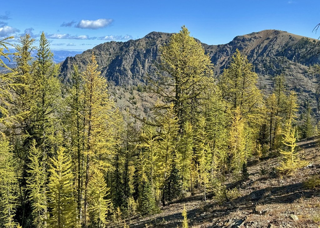

A steep as all heck hike (think: 1200 feet-per-mile) from the Twisp River Valley up to Abernathy Ridge with 360-degree views. The trail continues on to Slate Lake, but this side-trip adds 4 miles roundtrip for this add-on.
Start out on a section of the Twisp River Trail. After a short stroll, stay left, then at the next junction, just a short walk away, stay right, leaving the Twisp River Trail. You'll know you're on the right trail because you quickly start climbing. In fact, you will steeply and relentlessly climb more than 1200 feet per mile for three miles, straight up to Abernathy Ridge.
You'll enjoy views along the way, wildflowers in June, and lots of deer tracks, but the best 360-degree views are at the top.
This trail is great as an early season training session for your knees, quads, and calves. Despite the name of the trail, it does not follow the creek, and there will be no water available on the trail unless you continue on to Slate Lake. A shorter version of this hike guides visitors to a bench overlook, a great spot to have lunch and turn around.

 Trailhead


