
Tucked in an eastern corner of the Mount Adams Ranger District, the Pine-Way trail is adjacent to the Yakama Indian Reservation.
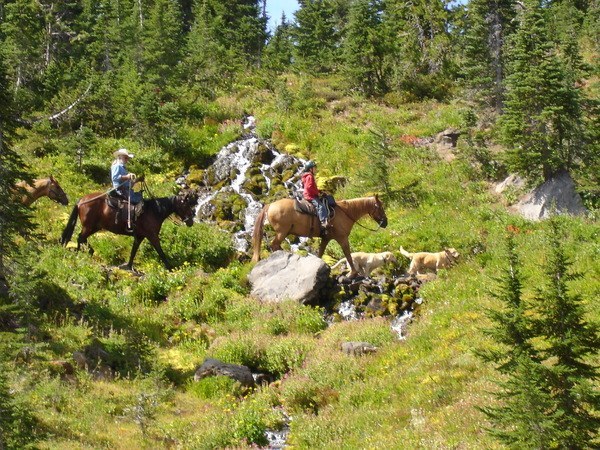
Cattle range in this area, so your first part of the hike might be among the large bovines, or at least in their pasture. The first half-mile of the trail is used as a stock driveway as well, so be prepared to share the way.
Past this large open area, the trail heads west through rocky terrain. The entire trail goes through the site of the Cold Springs fire from 2008, and it eventually connects with the Snipes Mountain Trail at the Aiken Lava Flow. Further adventures can be had following Snipes Mountain, or you can call it a day at the junction.
Snipes Mountain - Pine Way

-
 Length
- 5.0 miles, roundtrip
-
 Elevation Gain
- 500 feet
-
 Highest Point
- 4,800 feet
A short connector trail to the Snipes Mountain trail and other adventures on the southern flanks of Mount Adams.
Continue reading
Hiking Snipes Mountain - Pine Way

WTA worked here in 2021!
Snipes Mountain - Pine Way
Map & Directions
 Trailhead
Before You Go
Parking Pass/Entry Fee
NoneWTA Pro Tip: Save a copy of our directions before you leave! App-based driving directions aren't always accurate and data connections may be unreliable as you drive to the trailhead.


