Trails for everyone, forever

Home Go Hiking Hiking Guide St. George's Trail (Trail 503)

Alert: On Oct. 1 the federal government began a partial shutdown that will impact National Parks, National Wildlife Refuges and U.S. Forest Service lands in Washington. Here's the latest information we have for hikers and campers


St. George's Trail (Trail 503)

Eastern Washington > Spokane Area/Coeur d'Alene
47.7826, -117.4965 Map & Directions
Length
7.2 miles, roundtrip
Elevation Gain
1,400 feet
Highest Point
2,200 feet
Calculated Difficulty About Calculated Difficulty
Moderate
The trailhead on the Indian Painted Rocks end. Photo by Lord Business. Full-size image

Parking Pass/Entry Fee

Discover Pass
Saved to My Backpack

This trail starts and ends within the Little Spokane Natural Area, with a short stint near St. George's School. Continue reading

Rating
0.00 out of 5

(0 votes) Log in to rate

Hiking St. George's Trail (Trail 503)

St. George's Trail, marked on maps as Trail 503, has two ends: one at the Indian Painted Rocks trailhead and another along the West St. George's School Road/Rural Route 5. The Indian Painted Rocks trailhead has more parking as well as a vault toilet. 

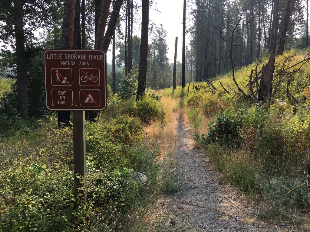
The trail travels mostly through the Little Spokane Natural Area, with a small segment going through St. George's School property. The trail is great for hikers and trail runners, as it takes folks through the forest, alongside wildflowers and offers nice views of the surrounding area with some elevation gain.

WTA has worked along this trail, helping restore tread and remove debris.

WTA worked here in 2022!

St. George's Trail (Trail 503)

Map & Directions

Trailhead
Co-ordinates: 47.7826, -117.4965 Open in Google Maps

Before You Go

See weather forecast

Parking Pass/Entry Fee

Discover Pass

WTA Pro Tip: Save a copy of our directions before you leave! App-based driving directions aren't always accurate and data connections may be unreliable as you drive to the trailhead.

Getting There

The recommended starting point for this hike is the Indian Painted Rocks trailhead; the actual start of the trail is slightly south of the parking lot along West Rutter Parkway, just across the Little Spokane River. 

From I-90, take the Maple Street exit 280. Drive north on Maple/Walnut Street for 4.4 miles. Turn left on Francis Street and continue for 1.1 miles. Bear right onto Indian Trail Road and continue for 4.8 miles. Indian Trail will become West Rutter Parkway. Follow for another 0.7 mile; the parking area will be on the left.

More Hike Details

Trailhead

Eastern Washington > Spokane Area/Coeur d'Alene

Washington State Parks

You can improve or add to this guidebook entry!

St. George's Trail (Trail 503)

0 Trip Reports

Hiked here recently?

Submit a trip report!
 
There aren't any trip reports for this hike yet.