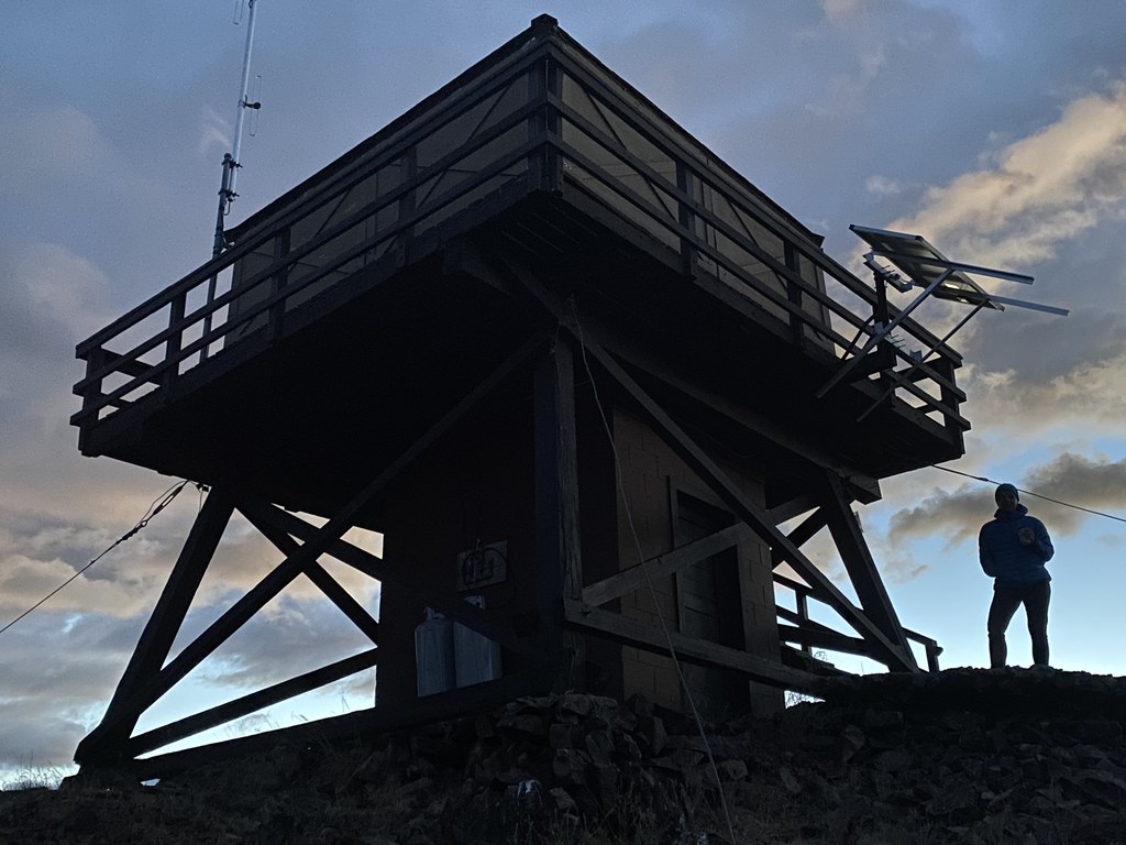
As you ascend towards Steliko Lookout you become a part of the rolling, grassy hills of the Columbia River drainage. Viewed from a distance, the parched hillsides can be austere and unwelcoming. Taking these sublime hillsides at ground level they offer up their subtle beauties as well as acknowledging their humble décor.
This lookout may be hiked year-round or may be driven to the summit as road conditions and your vehicles capability dictate. With a relatively low elevation of just over 2500 feet and a short access road of under 2 miles from plowed pavement, this lookout is truly accessible to many regardless of the time of year.
If you are planning on driving to the lookout it is important to be realistic with your vehicle’s capabilities (not to mention your own). The Steliko Canyon road gains over 1500 feet in under 2 miles. Much of the first mile of this road is a single lane road with no turnouts. Encountering an oncoming vehicle could require significant backing up.
Hiking the Steliko Canyon Road is a great option. The USFS facility is at the base of the road and has adequate parking for hikers. The first mile is deep in the west facing canyon. As you round the corner and onto the ridgeline, the views open up.
The immense grassy slopes are now all around you. The driving or hiking becomes easier at this point. Ignore any secondary roads and keep ascending. As the road loops around the final summit mound you may see vestiges of the original trail heading directly to the summit.
The summit has parking for several cars and a tidy little privy. Be conscious of renters who may be using the lookout and allow them their space. This lookout was recently added to the rental system. If it is occupied by renters please treat this as a hotel room or vacation rental and do not enter.
WTA Pro Tip: If you are a lookout geek be sure to visit the Columbia Breaks Fire Interpretive Center which is just a little further north of Entiat on alternate 97. There are three standing lookouts there which have been moved from other locations.


 Trailhead


