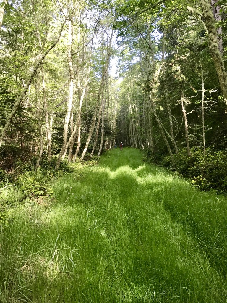

Cypress Island Natural Resources Conservation Area (NRCA) is the largest relatively undeveloped island in the San Juan Islands and is home to over 5,200 acres of protected forests, wetlands, grasslands and tidelands.
Strawberry Bay and Reef Point

-
 Length
- 10.0 miles, roundtrip
-
 Elevation Gain
- 2,180 feet
-
 Highest Point
- 960 feet
Cypress Island Natural Resources Conservation Area (NRCA) is the largest relatively undeveloped island in the San Juan Islands and is home to over 5,200 acres of protected forests, wetlands, grasslands and tidelands.
Continue reading
Parking Pass/Entry Fee
NoneHiking Strawberry Bay and Reef Point

WTA worked here in 2021!
Strawberry Bay and Reef Point
Map & Directions
 Trailhead
Before You Go
Parking Pass/Entry Fee
NoneWTA Pro Tip: Save a copy of our directions before you leave! App-based driving directions aren't always accurate and data connections may be unreliable as you drive to the trailhead.


