Trails for everyone, forever

Home Go Hiking Hiking Guide Sullivan Lake Nature Trail

Sullivan Lake Nature Trail

Eastern Washington > Selkirk Range
48.8403, -117.2782 Map & Directions
Length
0.7 miles, roundtrip
Elevation Gain
85 feet
Highest Point
2,745 feet
Calculated Difficulty About Calculated Difficulty
Easy
The Sullivan Lake Nature Trail winds through a tranquil forest. Photo by Mary Hartman. Full-size image
  • Dogs allowed on leash
  • Fall foliage
  • Good for kids
  • Lakes
  • Wildlife

Parking Pass/Entry Fee

None
Saved to My Backpack

This nature trail is ideal when you’re camping at beautiful Sullivan Lake and want a short, woodsy hike before breakfast or after supper. Continue reading

Rating
4.00 out of 5

Hiking Sullivan Lake Nature Trail

Sullivan Lake is a superb destination in northeastern Washington, with three beautiful Forest Service campgrounds available. A short nature trail departs from East Sullivan Campground, winding through the forest on the north side of the lake. Sadly, it’s no longer possible to find the interpretive guide that explains features along the trail, but it hardly matters in such a lovely setting.

The Nature Trail shares a trailhead with the Sullivan Lakeshore Trail. You’ll find it along the Sullivan Lake Campground Road, just before the fork to the campground itself. There’s room for about 6 cars, with additional parking in the campground.

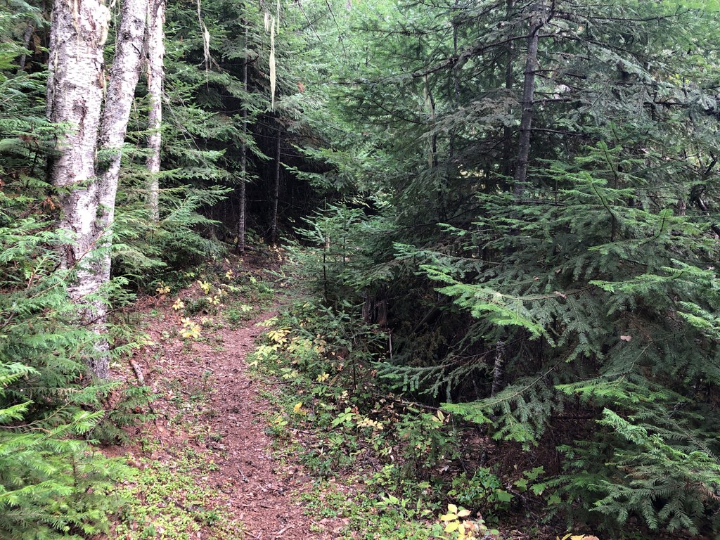
Once on the trail, you’ll soon reach a fork in the trail; turn left onto the Nature Trail, which climbs gradually through the forest. If you keep your eyes open, you’ll see signs of a 1926 forest fire and a huge, stately old western larch. The Sullivan Lake Area is also home to deer, moose, beaver, eagles, turkeys and a host of other wildlife.

Toilet Information

  • Toilet at trailhead

More information about toilets

Hike Description Written by
Mary Hartman, WTA Correspondent

Sullivan Lake Nature Trail

Map & Directions

Trailhead
Co-ordinates: 48.8403, -117.2782 Open in Google Maps

Before You Go

See weather forecast

Parking Pass/Entry Fee

None

WTA Pro Tip: Save a copy of our directions before you leave! App-based driving directions aren't always accurate and data connections may be unreliable as you drive to the trailhead.

Getting There

From Metaline Falls, drive north on WA 31 for 2 miles and turn right on Sullivan Lake Road. Drive 4.7 miles, turn left on Forest Road 22 (gravel) and drive 0.4 mile to East Sullivan Campground. Drive 0.2 mile to the trailhead on the left. There is space for about 6 cars at the trailhead.

If you’re approaching from the south on WA 31, drive north about 3 miles past the intersection with WA 20. Turn right on Sullivan Lake Road, which crosses the Pend Oreille River. Drive 13 miles and turn right on Forest Road 22 to East Sullivan Campground.

More Hike Details

Trailhead

Eastern Washington > Selkirk Range

Nature (#509)

Colville National Forest, Newport-Sullivan Lake Ranger District

Guidebooks & Maps

USGS Metaline Falls

You can improve or add to this guidebook entry!

Sullivan Lake Nature Trail

1 Trip Report

Hiked here recently?

Submit a trip report!
 
Loading trip reports...
Trip Reports