
This short, one-mile, downhill jaunt from the hairpin turn on the road to Sunrise makes a great detour when hiking the Palisades Lakes trail, or a nice warm up before tackling longer hikes like Burroughs or Dege Peak from Sunrise.
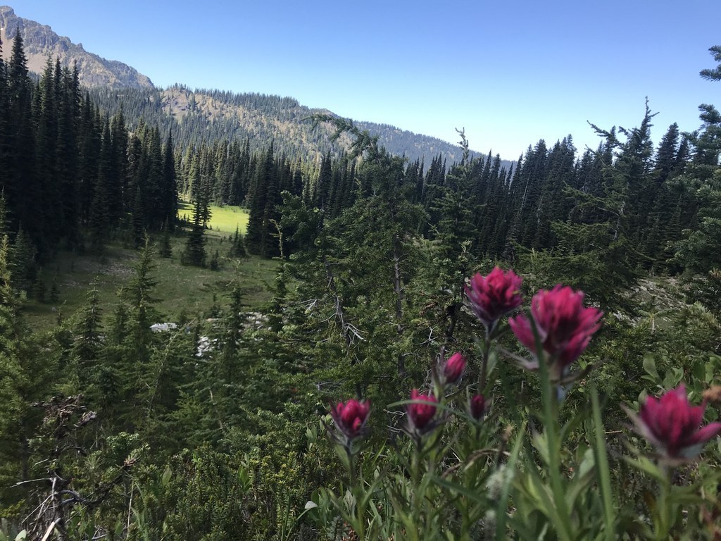
Sunrise is the first of seven lakes that it is possible to see on the Palisades Lakes trail, but it's a great stopping spot for visitors with little ones, or those who just want to amble a short way down the trail. Plus, along the way you'll enjoy seas of wildflowers and huckleberries, depending on which season you visit.
While the throngs of summer visitors are heading to the end of the road at Sunrise Point, pull off into the corner viewpoint parking area near the top. The wide trail starts across the road, near a kiosk with a map and general information about the area. Drop downhill on the soft and wide trail, crossing a short section of talus before arriving at a junction marked for Sunrise Lake. Follow the signs to the peaceful little lake.
Because it's all downhill from the parking area, you'll have an uphill return trip. And, because it's the first of many lakes on this trail, you're likely to have company here. But it's a nice picnic spot, where you can bask in the majesty of faraway Rainier peeking over much-closer Dege Peak, and marvel at the wide valley Sunrise Lake is pooled in.
Sunrise Lake

-
 Length
- 1.5 miles, roundtrip
-
 Elevation Gain
- 425 feet
-
 Highest Point
- 6,150 feet
The road to Sunrise is closed for the winter season. It is expected to reopen in July 2026.
This short, one-mile, downhill jaunt from the hairpin turn on the road to Sunrise makes a great detour when hiking the Palisades Lakes trail, or a nice warm up before tackling longer hikes like Burroughs or Dege Peak from Sunrise.
Continue reading
Hiking Sunrise Lake
Map & Directions
 Trailhead
Before You Go
The road to Sunrise is closed for the winter season. It is expected to reopen in July 2026.
Parking Pass/Entry Fee
National Park PassWTA Pro Tip: Save a copy of our directions before you leave! App-based driving directions aren't always accurate and data connections may be unreliable as you drive to the trailhead.
Getting There
Learn how to secure your timed-entry permit for Mount Rainier National Park here.
From Enumclaw, drive SR-410 38 miles to the White River park entrance. Turn right onto Sunrise Road for 13 miles to viewpoint and trailhead parking.


