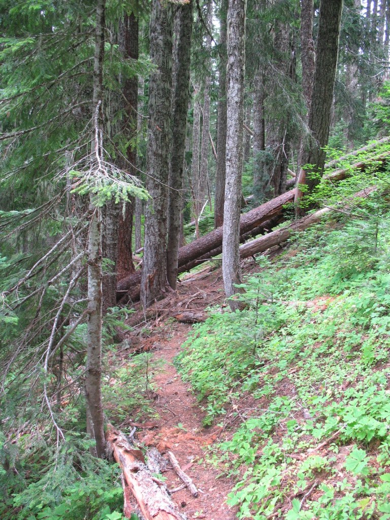

Following wilderness designation in 1986, the Mazamas, a Portland based mountaineering club, worked with the Forest Service to design a system of rugged trails with steep grades that are perfect for the adventurous hiker. Climbing 1,600 ft. in 1.5 miles, the Sunshine Trail is made more rigorous by the fact that logs are left in place across the trail to provide a real wilderness experience.
Not a hike in and of itself, the Sunshine Trail connects the longer, Observation and Trapper Creek Trails creating several different loop opportunities.
Sunshine Trail

-
 Length
- 1.5 miles, roundtrip
-
 Elevation Gain
- 1,600 feet
-
 Highest Point
- 3,400 feet
A primitive trail that climbs steeply to connect the Trapper Creek Trail (#192) to the Observation Trail (#132).
Continue reading
Hiking Sunshine Trail

WTA worked here in 2020 and 2019!
Sunshine Trail
Map & Directions
 Trailhead
Before You Go
WTA Pro Tip: Save a copy of our directions before you leave! App-based driving directions aren't always accurate and data connections may be unreliable as you drive to the trailhead.
Getting There
You can reach the Sunshine Trail from several other trails. The Government Mineral Springs Trailhead is nearest to Vancouver. From the trailhead, follow the Soda Peaks Lake Trail (#133) for 1/2 mile, turn right to cross Trapper Creek and get to the Trapper Creek Trail. Follow the Trapper Creek Trail upstream for about 2 miles to the jct with the Sunshine Trail.
From Vancouver, drive east on State Route 14 (along the Columbia River) a couple of miles beyond the town of Stevenson to a blinking light intersection signed “Carson” Take a left and follow this road (Wind River Highway 30) 15 miles north. Just beyond the Carson National Fish Hatchery keep left and cross the Wind River heading north on Mineral Springs Road. Park at the trailhead at the far end of the Mineral Springs Campground 1/2 mile further. (Driving time from Vancouver: approximately 1.5 hours.)


