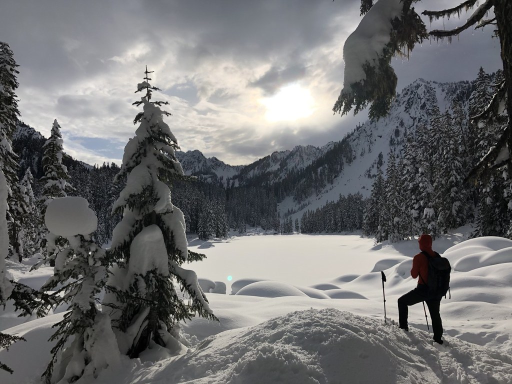

Heading to Surprise Lake in the winter can be rewarding, but be sure you know your avalanche warning signs before heading up.
This backcountry snowshoe route does not follow any road or trail, but winds up the narrow Skykomish River Valley just over four miles to the banks of Surprise Lake. You'll get some views on the way to the lake, but the large lake opens up the best views of the trek.
The Central Cascades are notoriously steep — be avalanche-aware on this trek and remember, while you may encounter other tracks, don't rely on them as your route-finding source.
Surprise Lake Snowshoe

-
 Length
- 8.0 miles, roundtrip
-
 Elevation Gain
- 2,300 feet
-
 Highest Point
- 4,500 feet
Heading to Surprise Lake in the winter can be rewarding, but be sure you know your avalanche warning signs before heading up.
Continue reading
Hiking Surprise Lake Snowshoe
Surprise Lake Snowshoe
Map & Directions
 Trailhead
Before You Go
Parking Pass/Entry Fee
NoneWTA Pro Tip: Save a copy of our directions before you leave! App-based driving directions aren't always accurate and data connections may be unreliable as you drive to the trailhead.
Getting There
Drive Highway 2 to just before the hairpin turn, 10 miles east of Skykomish. Shortly after passing the Iron Goat Interpretive Area, look for a large parking area to your right and cross the railroad tracks. Turn right, following a narrow track for a short way to the trailhead, just under some telephone lines.


