

Swauk Forest Discovery Trail is a scenic loop adventure set among a bountiful mixed forest. Located on the south side of Blewett Pass, the trailhead is both convenient and efficient, giving the hiker a 4120-foot starting point. Periodic views that look onto higher peaks are framed by cheery ponderosa and Douglas fir.
From the winter parking lot, walk toward the sledding hill and step onto a wide trail marked by a blue diamond. This diamond will mark the loop trail all the way around and back to the trailhead. Interpretive markers are numbered and point out impressive specimens of predominant tree species. This description is for a counter-clockwise loop; in winter, having a digital map to confirm your route with is helpful. At a fork shortly after the sledding hill, a blue diamond is visible uphill, but your route continues straight on.
The path enters a forest mixed with grand fir, western larch, and both white and ponderosa pines, and follows a westerly course in deep shade. Highway 97 can be heard below, the long hauls and RVs gunning their final push up to Blewett Pass. Closer to the hiker are brittle branches draped in lichen that eventually end up littering the snowy path.
Soon, the way finds an open shoulder of the mountain. The view looks down onto the highway and the nearby ridges. The trail heads left around the ridge and crosses a short basin head before arriving at another ridge. Turn left and proceed gently uphill, looking for numbered interpretive signs to confirm you're on the right route. This southerly next half mile is sometimes barren of snow, presenting the choice of dismounting snowshoes or micro spikes.
The way is now nearly level, passing under mossy Douglas firs to a beautiful bench with a fantastic view at 1.1 miles. From here, the trail descends slightly to a saddle and crosses a road. The road comes from the trailhead, which is left, and offers a shortcut exit if needed.
Continuing on the other side of the road, the way turns right and parallels the road, climbing at a slight angle. Blue diamonds are in short supply here, but generally, the way zig zags upward in long switchbacks, with the occasional cut log marking the way. Eventually, all paths lead to the high point at 4,550 feet and 1.9 miles.
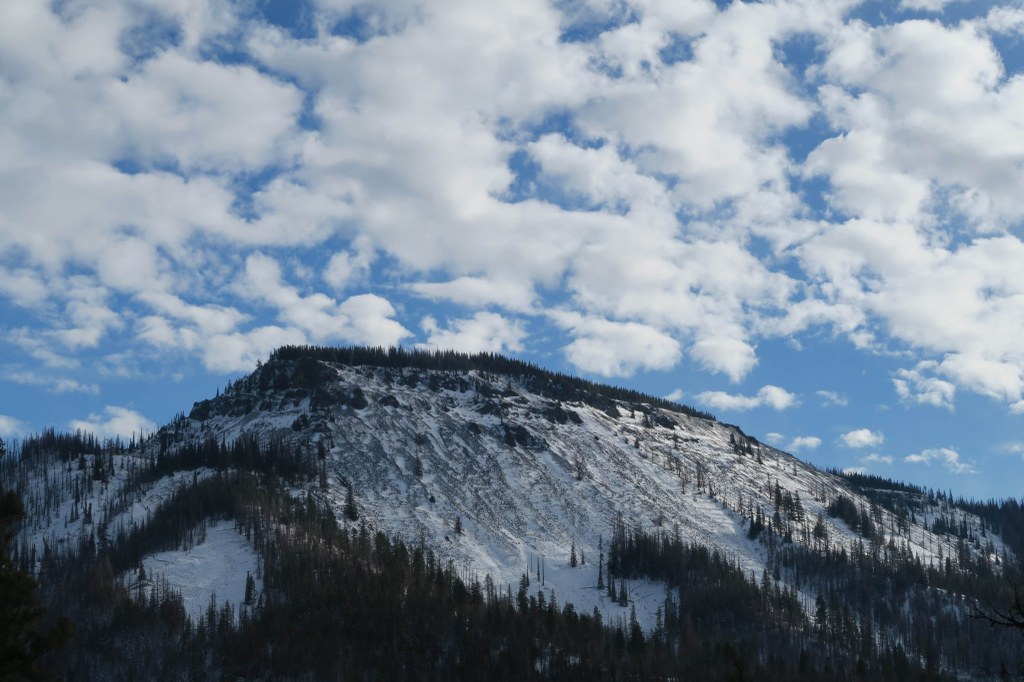
From this steep and eroded point, the Stuart Range rises high to the northwest. Swauk Meadow lies flat and white in the basin to the southwest. The way now moves east down the nose of the ridge under magnificent ponderosa pines. A wood sign and blue diamond mark a switchback at another scenic point before the way turns into deeper forest.
Soon, the road can be seen again. A junction presents the option of either following the road or staying right and continuing down the slope. The latter ends up at the road anyway, putting the hiker at the summer trailhead, just uphill from the winter trailhead. Proceed along the road another 0.3 mile to return to the parking lot.
 Trailhead


