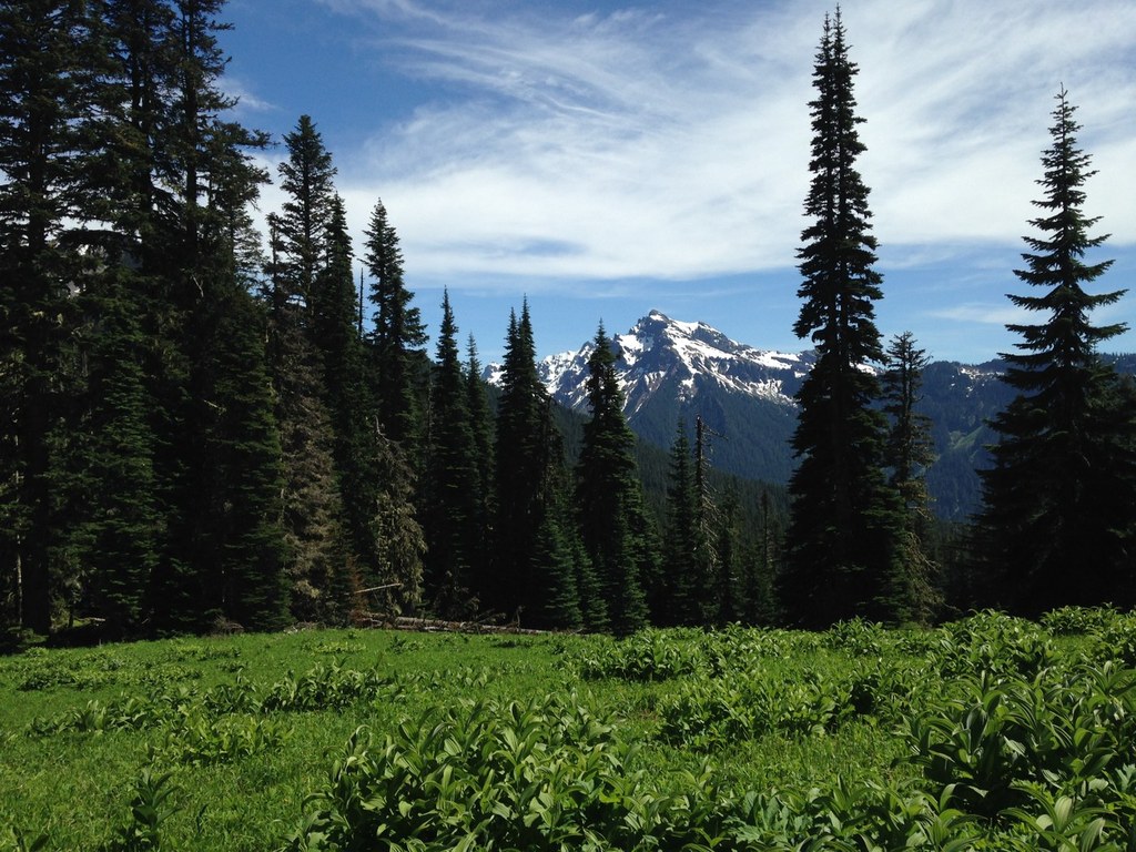

The Three Peaks trail gets off to an unassuming start — following an abandoned road through the forest for half a mile. After departing from the road, hikers find themselves in a thick forest for several miles before the views open up a bit through timber harvest area. As hiker near the end, the trail crosses into the Goat Rocks Wilderness and rewards hikers with peek-a-boo views of Packwood Lake.
The Three Peaks trail ends at the junction with the Packwood Lake trail 4.8 miles in. Hikers can stop here and enjoy some time at the ominously named Mosquito Lake, or continue eastward at the junction to reach Lost Lake or Chimney Rock.
Three Peaks and Mosquito Lake

-
 Length
- 9.6 miles, roundtrip
-
 Elevation Gain
- 3,800 feet
-
 Highest Point
- 5,180 feet
Permits Required
Wilderness permit. Self-issue at trailhead (no fee)
Three Peaks is a ridgeline trail that takes hikers into the edges of the Goat Rock Wilderness. Hike it in a day, or use it as a starting point for a number of backpacking options.
Continue reading
Hiking Three Peaks and Mosquito Lake
Three Peaks and Mosquito Lake
Map & Directions
 Trailhead
Before You Go
Permits Required
Wilderness permit. Self-issue at trailhead (no fee)WTA Pro Tip: Save a copy of our directions before you leave! App-based driving directions aren't always accurate and data connections may be unreliable as you drive to the trailhead.
Getting There
From Packwood, head east on US-12 for 2.8 miles. Turn right onto Lake Creek Road, then quickly take the first left onto NF-1266. Follow NF-1266 about 6 miles until the end of the road.
Vehicles should park on NF-1266.070. The trail starts a short distance past the point where NF-1266 is blocked to vehicle traffic.


