

This horse/hiker trail used to access Bear Creek Mountain, but years of underuse and neglect has rendered it nearly impossible to follow.
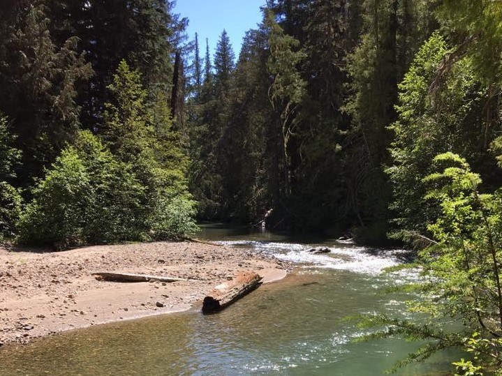
If you attempt it, have a good map, compass and navigation skills. Expect a river crossing right off the bat, and bushwhacking or routefinding for most of the grueling 4.9-mile climb from the North Fork Tieton River valley up the northwest-facing shoulder of Bear Creek Mountain. The river valley is at 3300 feet at the junction is at 6200, meaning it’s 2900 feet of elevation gain in just 4.9 miles.
The first leg ends at a junction with the Bear Creek Mountain trail. From there it’s another 2.7 miles to the summit of Bear Creek Mountain, which sits at 7337 feet, another 1100 feet of elevation gain.
 Trailhead


