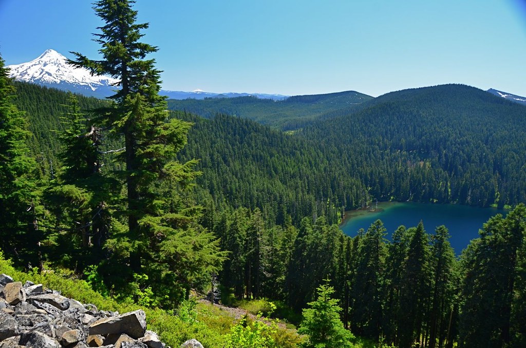
Trails for everyone, forever

Home Go Hiking Hiking Guide Tomlike Mountain
link

Tomlike Mountain

Southwest Washington > Columbia River Gorge - OR
45.5776, -121.7925 Map & Directions
Length
6.0 miles, roundtrip
Elevation Gain
1,300 feet
Highest Point
4,555 feet
Calculated Difficulty About Calculated Difficulty
Moderate
Mt Hood and Wahtum Lake from trail. Mt Jefferson is a small white dot to the right of Mt Hood Full-size image
  • Wildflowers/Meadows
  • Ridges/passes
  • Wildlife
  • Mountain views
  • Old growth
  • Summits
  • Lakes

Parking Pass/Entry Fee

Northwest Forest Pass

Hiking Tomlike Mountain

Tomlike Mountain

Map & Directions

Trailhead
Co-ordinates: 45.5776, -121.7925 Open in Google Maps

Before You Go

See weather forecast

Parking Pass/Entry Fee

Northwest Forest Pass

WTA Pro Tip: Save a copy of our directions before you leave! App-based driving directions aren't always accurate and data connections may be unreliable as you drive to the trailhead.

More Hike Details

Trailhead

Southwest Washington > Columbia River Gorge - OR

Anthill (#406B)

Mount Hood National Forest, Hood River Ranger Station

Guidebooks & Maps

Green Trails Columbia River Gorge???West No. 428S

You can improve or add to this guidebook entry

Tomlike Mountain

4 Trip Reports

Hiked here recently?

Submit a trip report!
 
Trip Reports