
Start at the switchback parking lot at the Lower Mt. Kit Carson Loop Road trailhead. Take trail 110 uphill by taking the very first trail on the right after the gate, marked for both trail 110 and 100.
Turn left at the next junction and cross the creek onto a WTA-built bridge. At the next intersection bear right, remaining on trail 110. From here it's a long uphill with three big switchbacks to get to Saddle Junction where trail 110 meets the Upper Mt. Kit Carson Loop Road. The trail heads uphill beyond the outhouse--here you're on both trail 140 and trail 160 for a short time, but after less than 1/4 mile, trail 140 breaks off to the left while trail 160 continues to climb to Mt. Kit Carson (an excellent side trip if you're after a scenic view).
Trail 140 comes out into lower Mt. Kit Carson meadows briefly before making a left and plunging back into the woods. Now the trail descends through a series of twists, turns, and switchbacks, depositing runners and hikers at Smith Gap, which features a picnic table and outhouse.
Watch for huckleberries in the summer and keep this place in mind for snowshoeing in the winter. Also note that trail 140 is the main downhill mountain bike route on the mountain; bikes should yield to hikers (and everyone should yield to equestrians), but be sure to listen for approaching downhillers on this section of the trail.
From Smith Gap, complete the loop by following the Mt. Kit Carson Loop Road downhill to the trailhead.
Mount Spokane - Trail 110/140 Loop

-
 Length
- 6.0 miles, roundtrip
-
 Elevation Gain
- 1,100 feet
-
 Highest Point
- 5,000 feet
Parking Pass/Entry Fee
Discover Pass
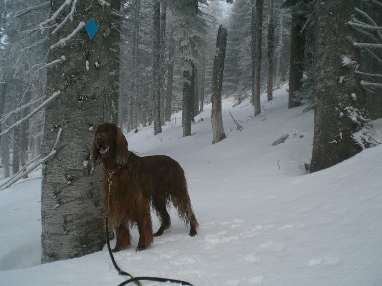
One of many loop hikes offered in the Mount Spokane area. Great for hiking and trail running in the summer, and snowshoeing in the winter.
Continue reading
Hiking Mount Spokane - Trail 110/140 Loop

WTA worked here in 2013!
Mount Spokane - Trail 110/140 Loop
Map & Directions
 Trailhead
Before You Go
Parking Pass/Entry Fee
Discover PassWTA Pro Tip: Save a copy of our directions before you leave! App-based driving directions aren't always accurate and data connections may be unreliable as you drive to the trailhead.


